Ron & Jan's Favorite Day Hikes
Other Areas of the Park
Joshua Tree is a very large park encompassing approximately 794,000 acres, 600,000 of which is a wilderness area, running 60 miles east-to-west and 30 miles north-to-south. Here are a few other trails some off of Keys Road and desert Queen Rd..
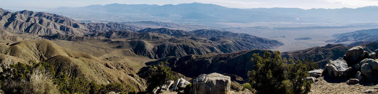
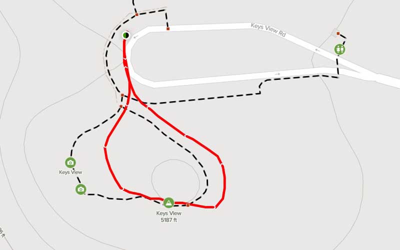
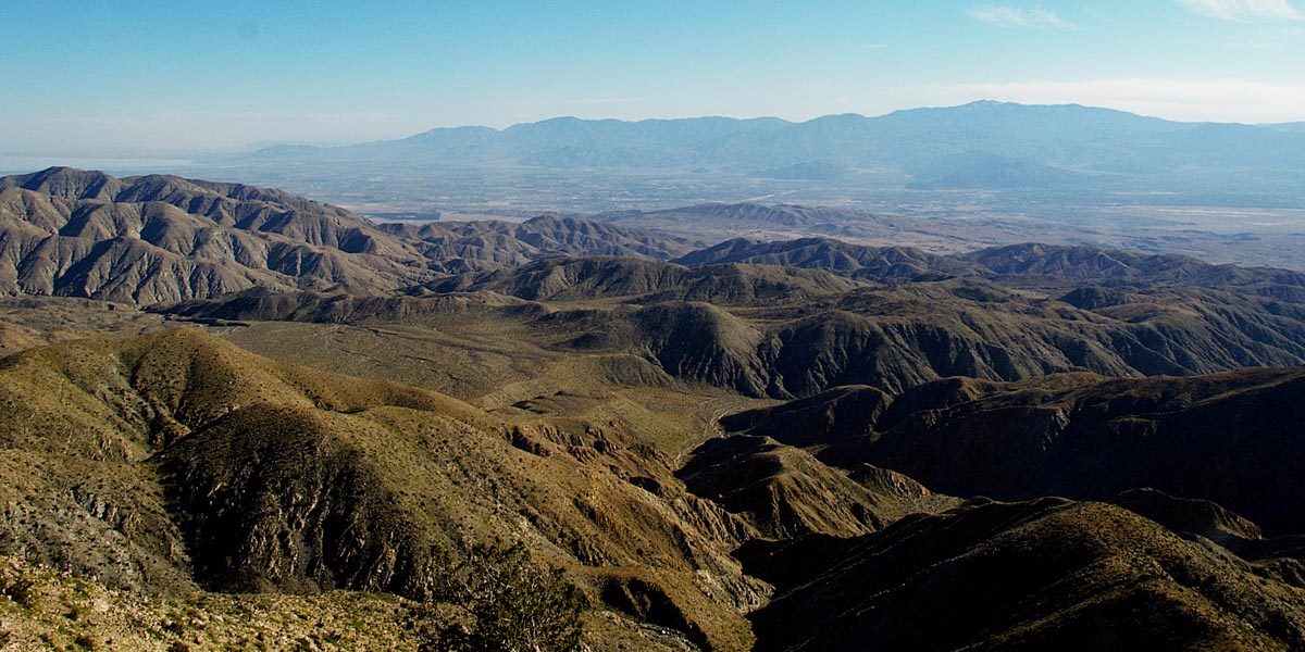
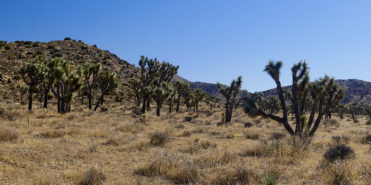
Keys View Nature Walk
Length .2 miles | elevation 19 feet | loop
Directions: From Joshua Tree entrance take Park Blvd till right before Cap Rock and turn right on Keys View Road. Head all the way to the end of the road
Very short walk on nice trail . stunning views of surrounding areas including the salton sea on a good day.
For more trail and hiking information go to alltrails.com
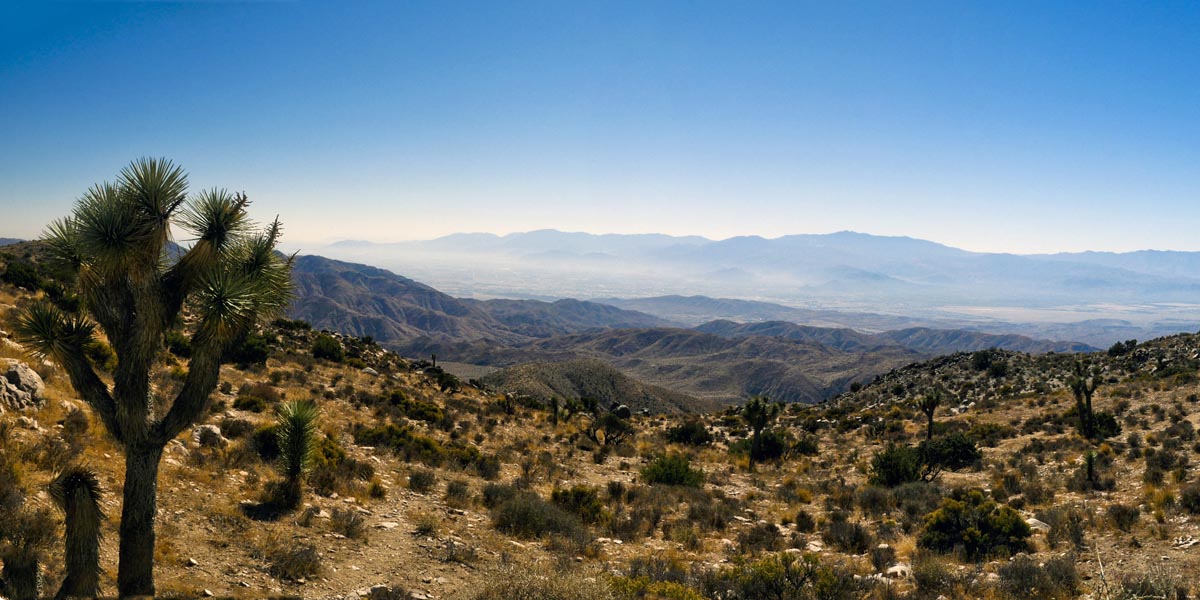
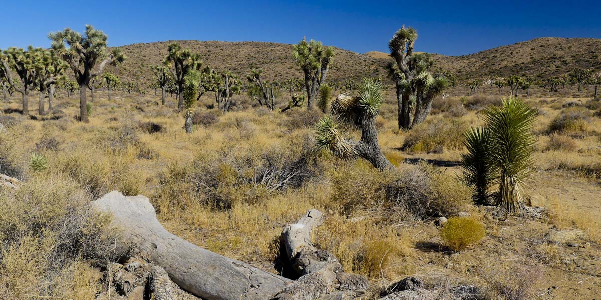
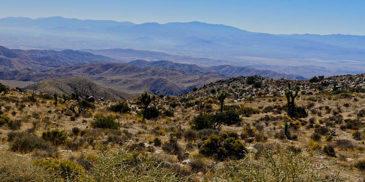
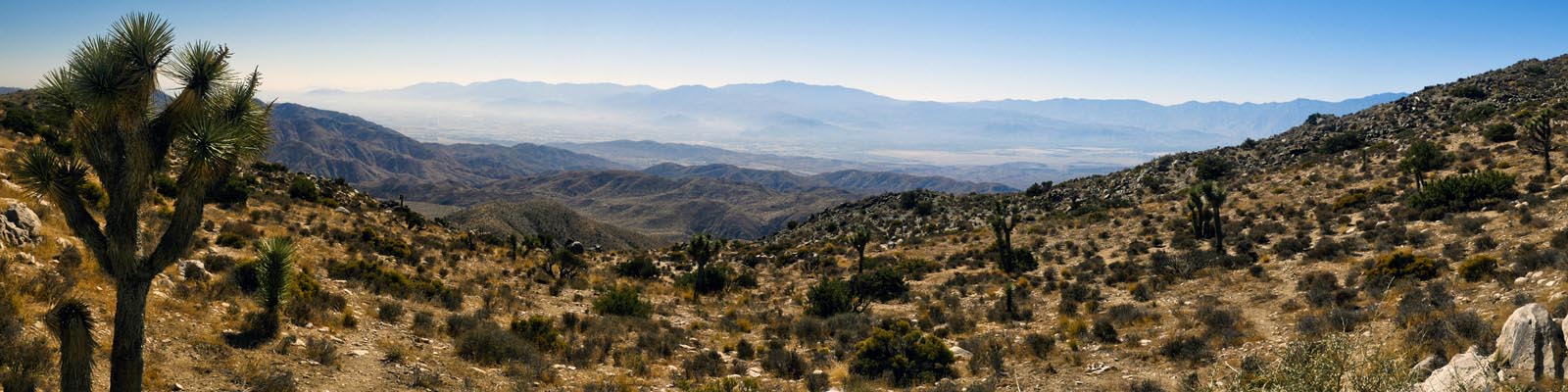
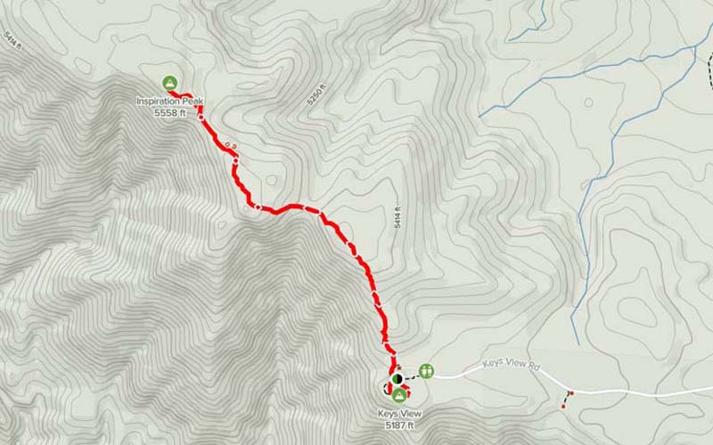
Keyes View to Insperation Point
Length 2 miles | elevation 656 feet | out & back
Directions: From Joshua Tree entrance take Park Blvd till right before Cap Rock and turn right on Keys View Road. Head all the way to the end of the road
If you want a longer hike than the nature trail, take the trail to insperation point. The 2 mile hike has some elevation, but not too steep. Trail is well maintained and easy to follow
For more trail and hiking information go to alltrails.com
For more images click here
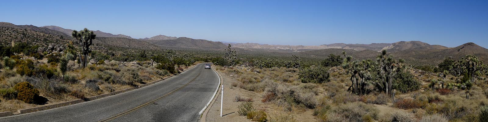
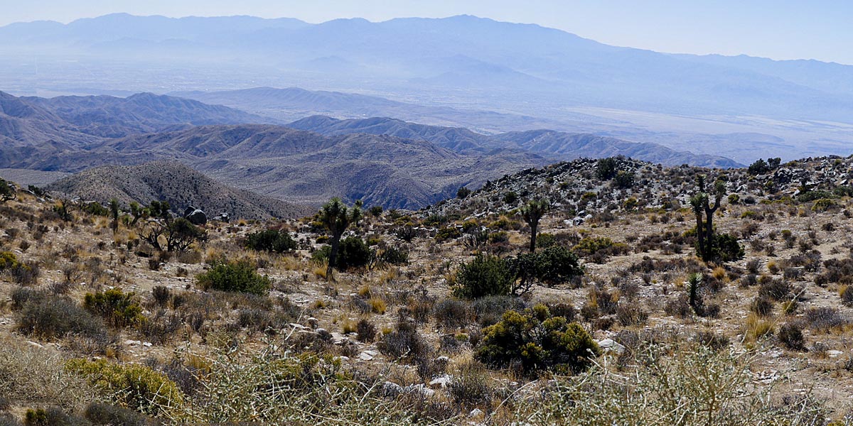
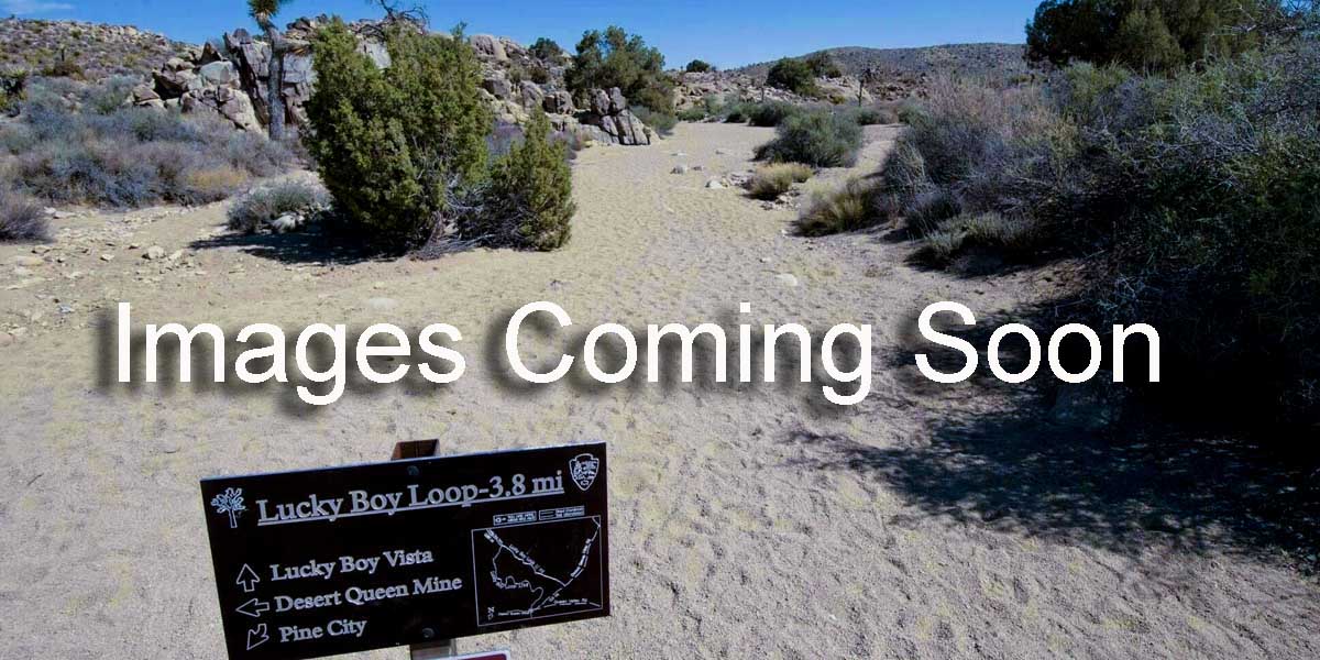
Lucky Boy Vista Trail
Length 3.1 miles | elevation 200 feet | easy loop
Directions:From Joshua Tree entrance take Park Blvd past Ryan Mountain and look on the right for Desert Queen Mine Road (dirt Road). Across the street from Geology Tour rd. Follow to parking lot.
Lucky Boy Vista Trail to Elton Mine is a 3.1 mile lightly trafficked loop trail located near Twentynine Palms, California that features beautiful wild flowers and is good for all skill levels. The trail is primarily used for hiking, walking, nature trips, and bird watching and is best used from March until October.
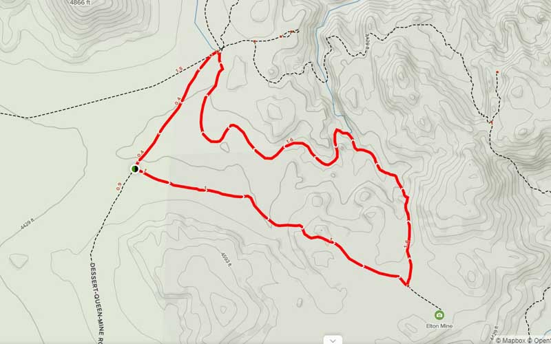
For more trail and hiking information go to alltrails.com
For more images click here
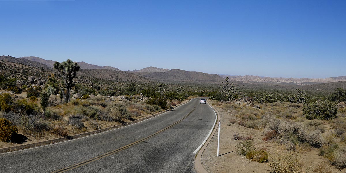
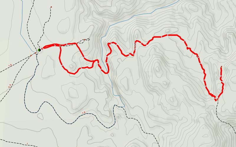
Desert Queen Mine Trail
Length 3.4 miles | elevation 580 feet easy/medium part loop
Directions: From Joshua Tree entrance take Park Blvd past Ryan Mountain and look on the right for DesertQueen Mine Road (dirt Road). Across the street from Geology Tour rd. Follow to parking lot.
Pretty trail has a little bit of incline but not too bad. It is easy to follow for most of the way.
For more trail and hiking information go to alltrails.com
For more images click here