Joshua Tree Cottonwood Hikes
Cottonwood Springs Area Trails
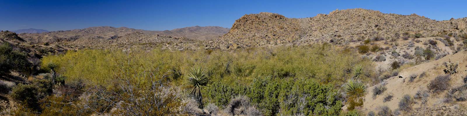
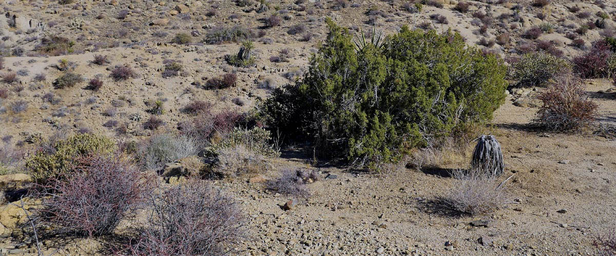
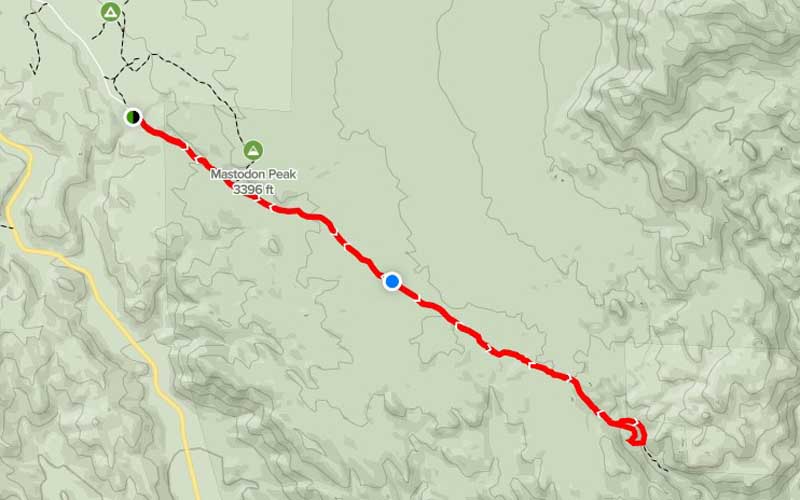
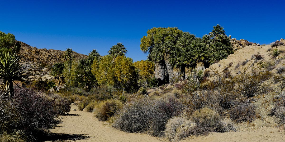
Southern area of the park offers different terrain with more vegetation and palm trees. Cottonwood Spring, Mastedon Loop, and Lost Palm trails start at the Cottonwood Springs parking lot. yoiu will need to go about 15 miles north for the Cholla Cactus Garden.
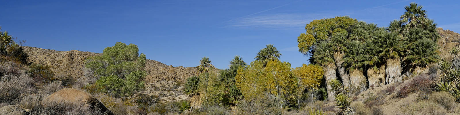
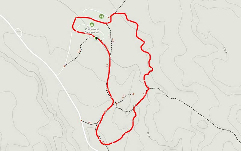
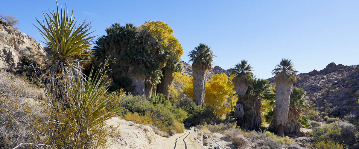
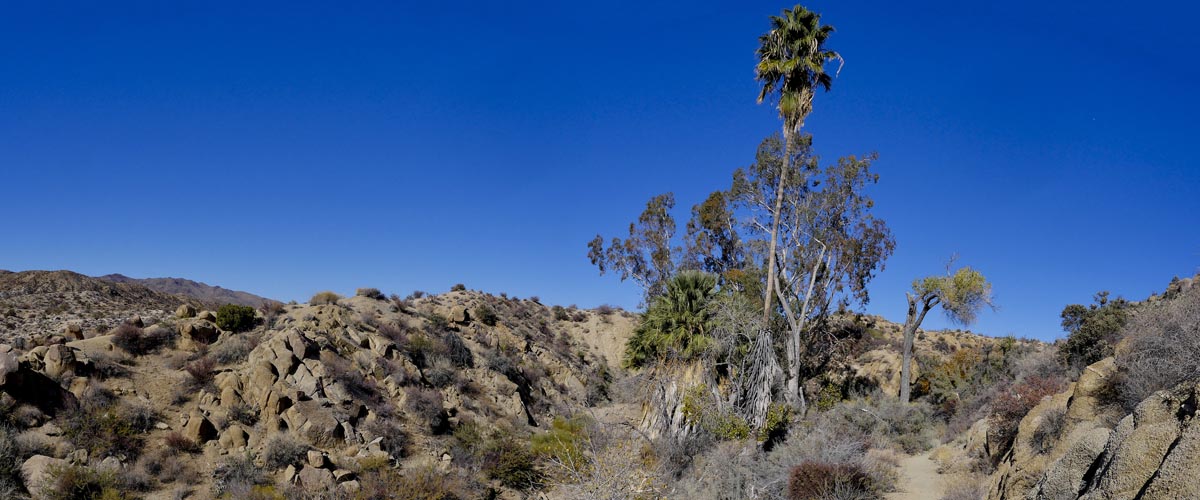
Cottonwood Spring Trail
Length 1.5 miles | elevation 180 feet | easy loop
Directions: From the south entrance turn right just before the Visitor Center. Turn left into camground and follow right. You can also get to it from the trail parking lot ( don't turn left into campground) .
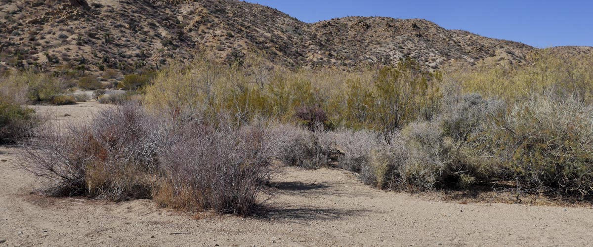
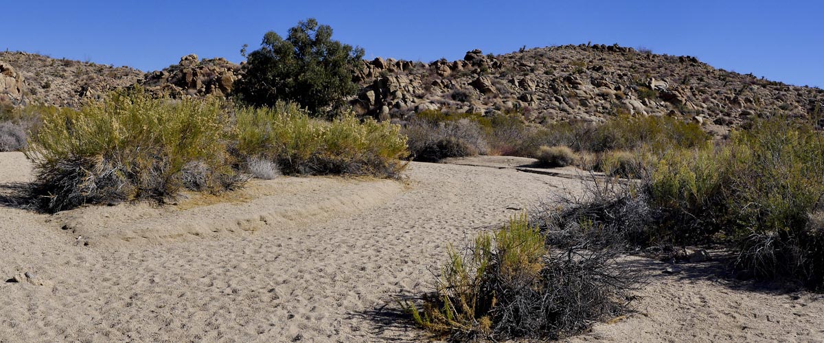
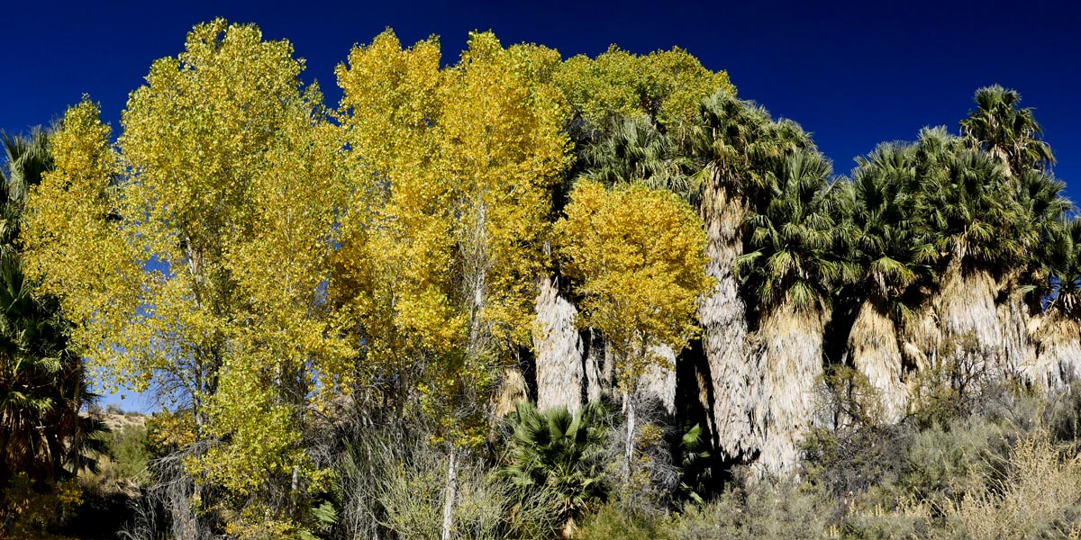
Nice easy hike takes you through the campground and to the oasis. The trail connects with other trails to mines, mills, and another oasis. This is best in March when you will see tons of wildflowers.
For more hiking and trail information go to alltrails.com
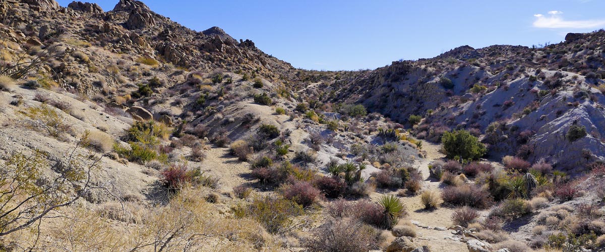
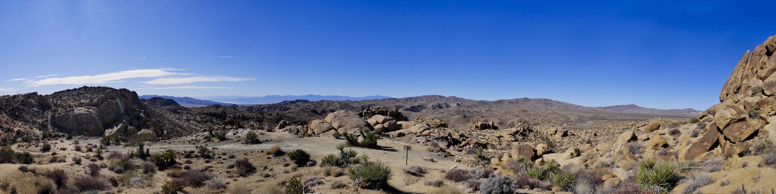
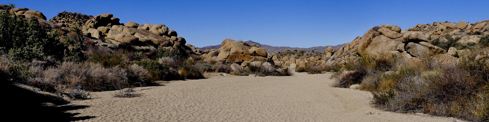
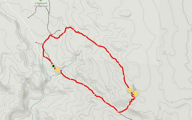
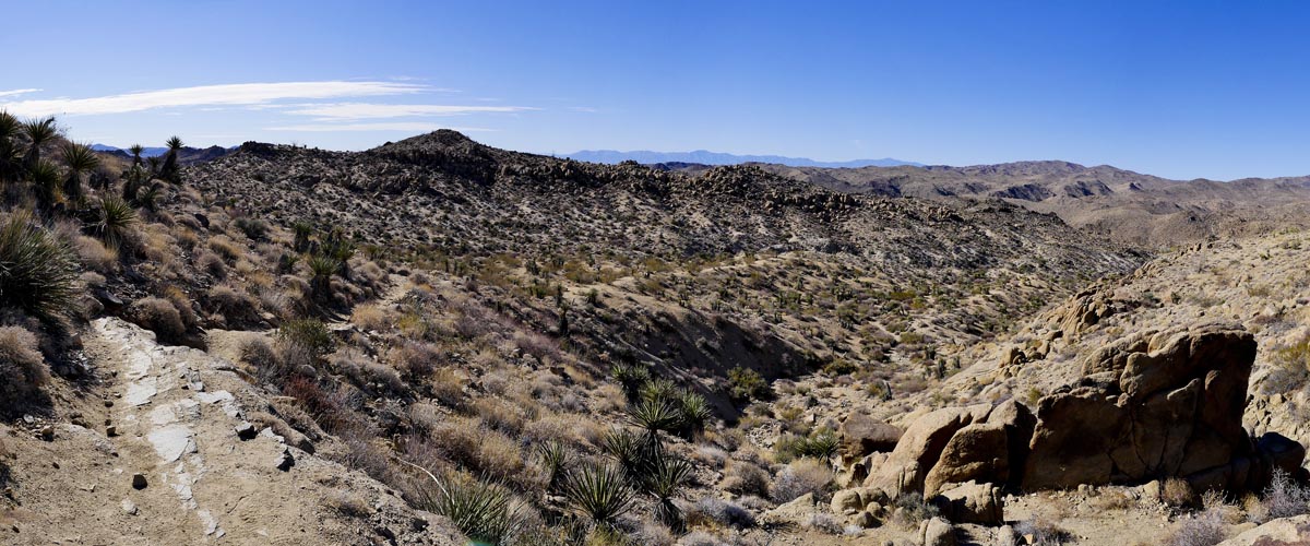
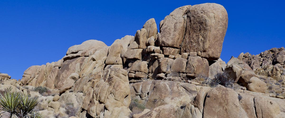
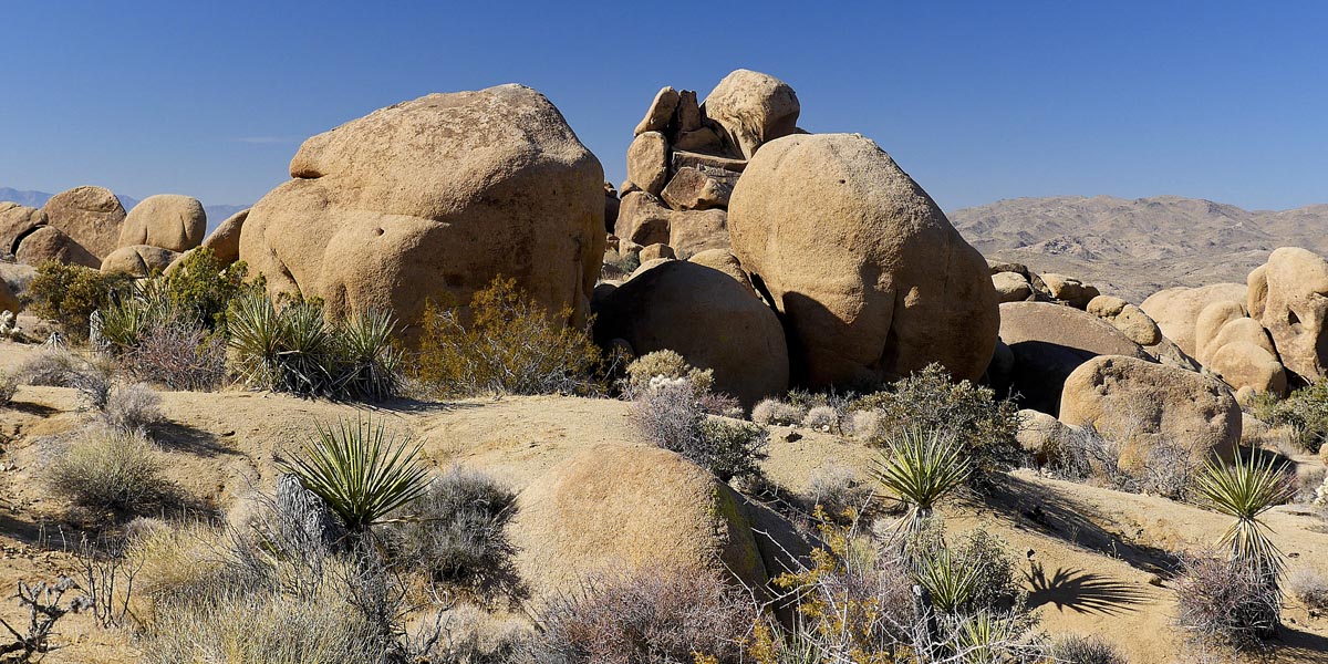
Mastedon Peak Loop Trail
Length 2.6 miles | elevation 406 feet | easy loop
Directions: From the south entrance turn right just before the Visitor Center. Follow until it deadends at parking lot. Follow trailhead to fork (sign) and go left.
trail starts at cottonwood springs parking lot. Take the trail through the oasis . at the fork turn left.
For more hiking and trail information go to alltrails.com
For more images click here
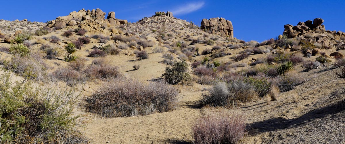
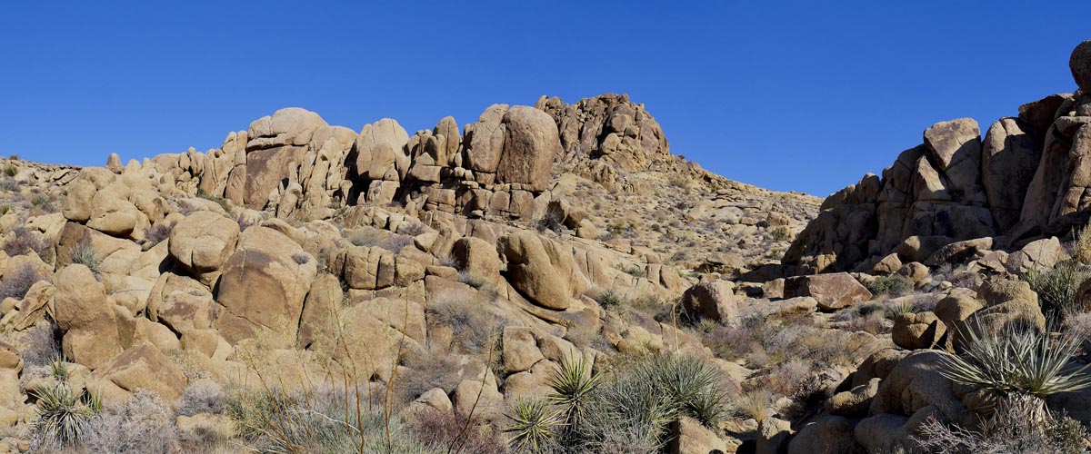
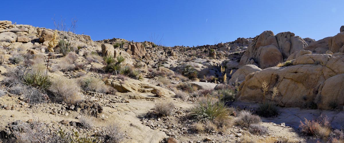
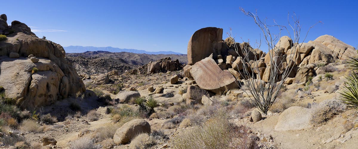
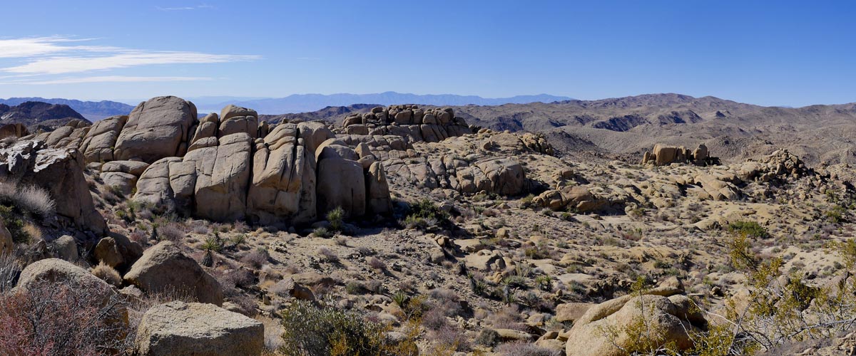
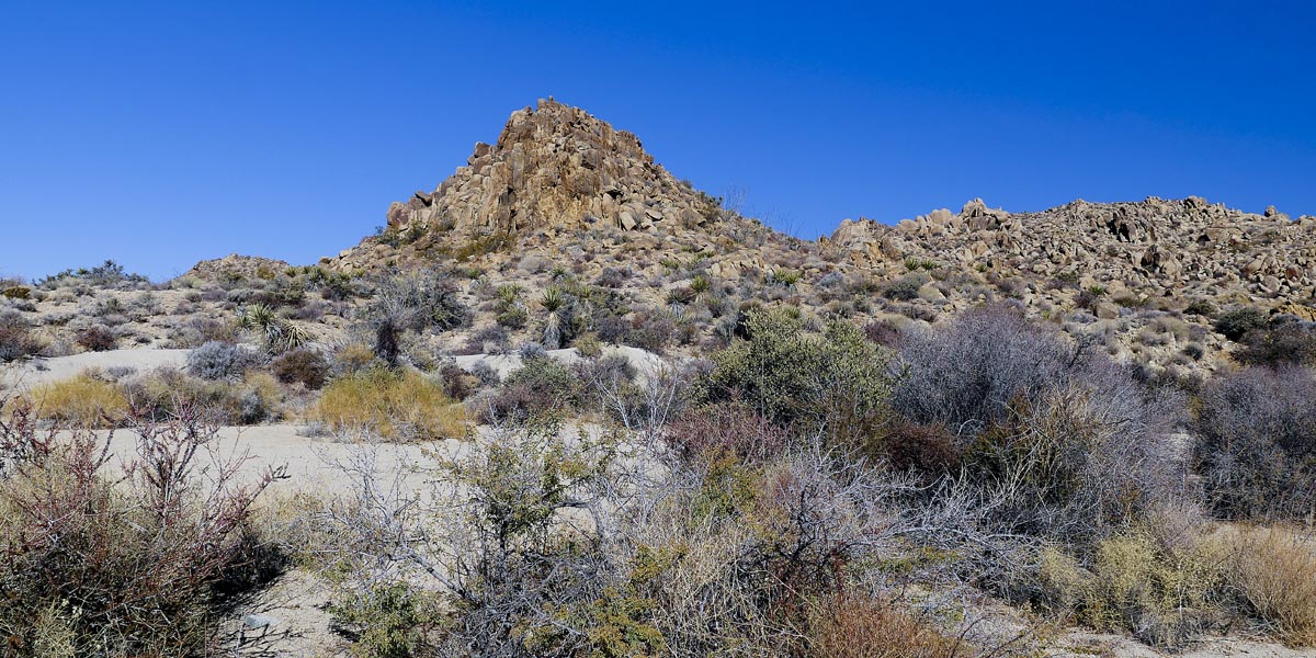
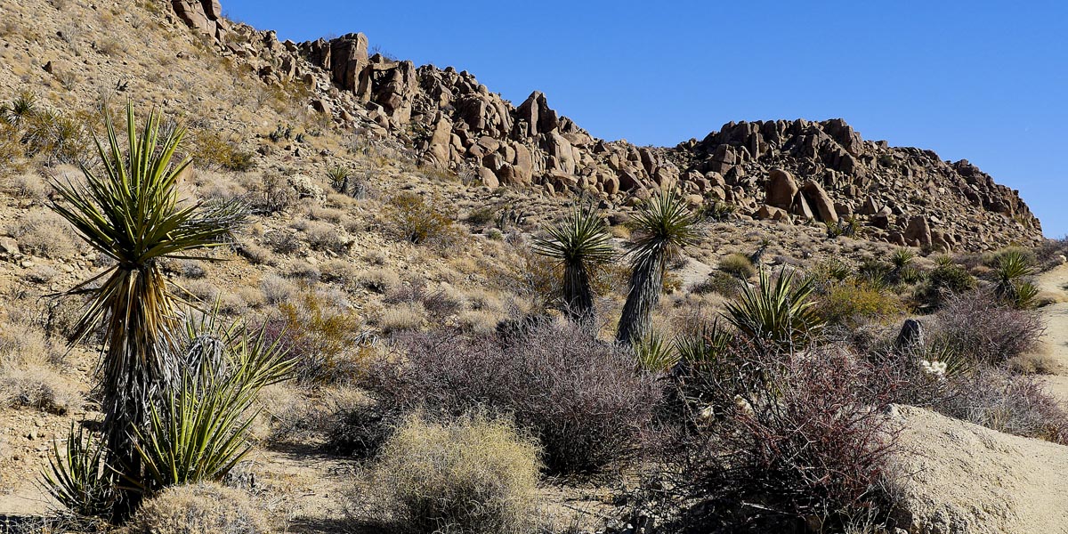
Lost Palms Trail
Length 7.2 miles | elevation 1096 feet | moderate out & back
Directions: From the south entrance turn right just before the Visitor Center. Follow until it deadends at parking lot. Follow trailhead to fork (sign) and go right.
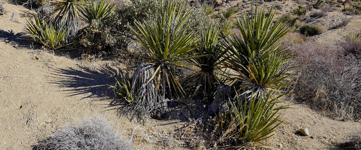
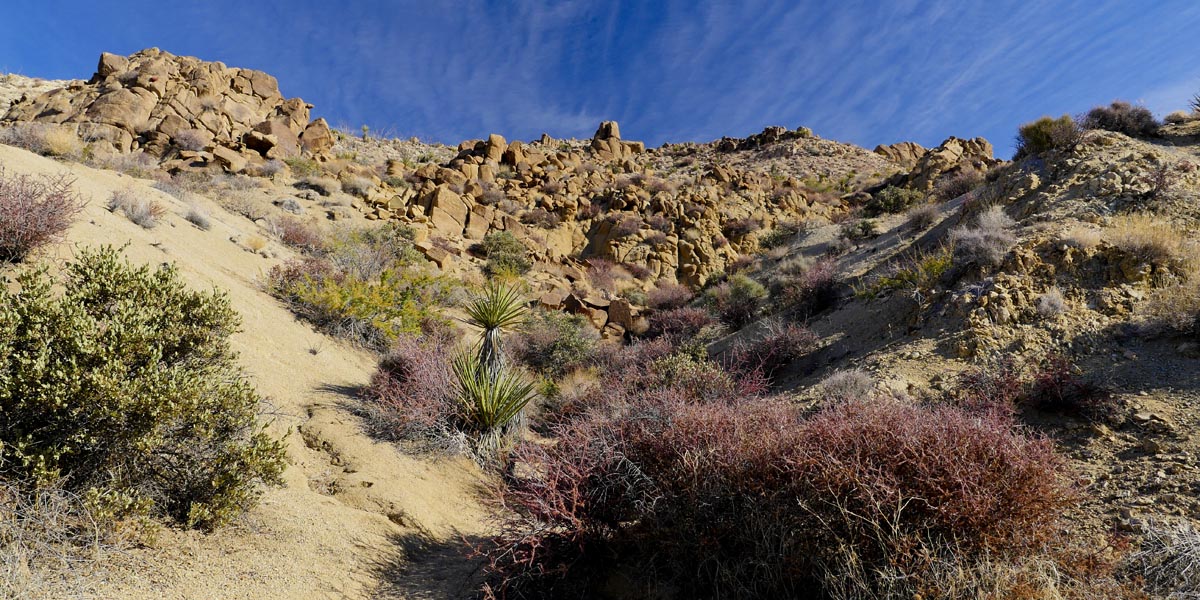
Use rest rooms at visitor center before coming. This is a long trail ( 3.6 miles each way) with little shade until the end. It has a 1098 ft elevation gain because you keep hiking up, then down, then up, etc. Make sure too take plenty of water. keep an eye out for big horn sheep in the hills. This is a good spot to see them.
For more hiking and trail information go to alltrails.com

For more images click here
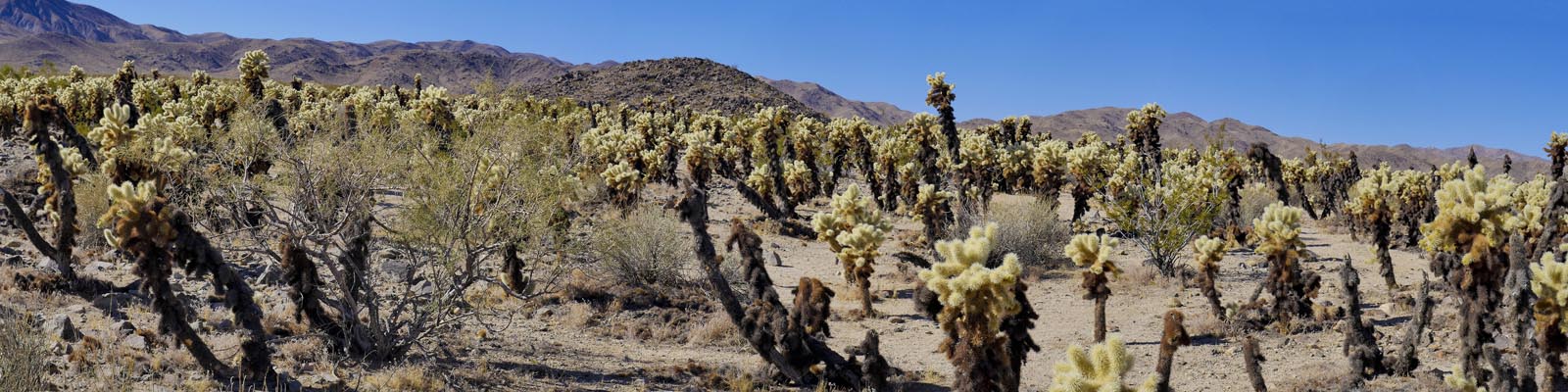
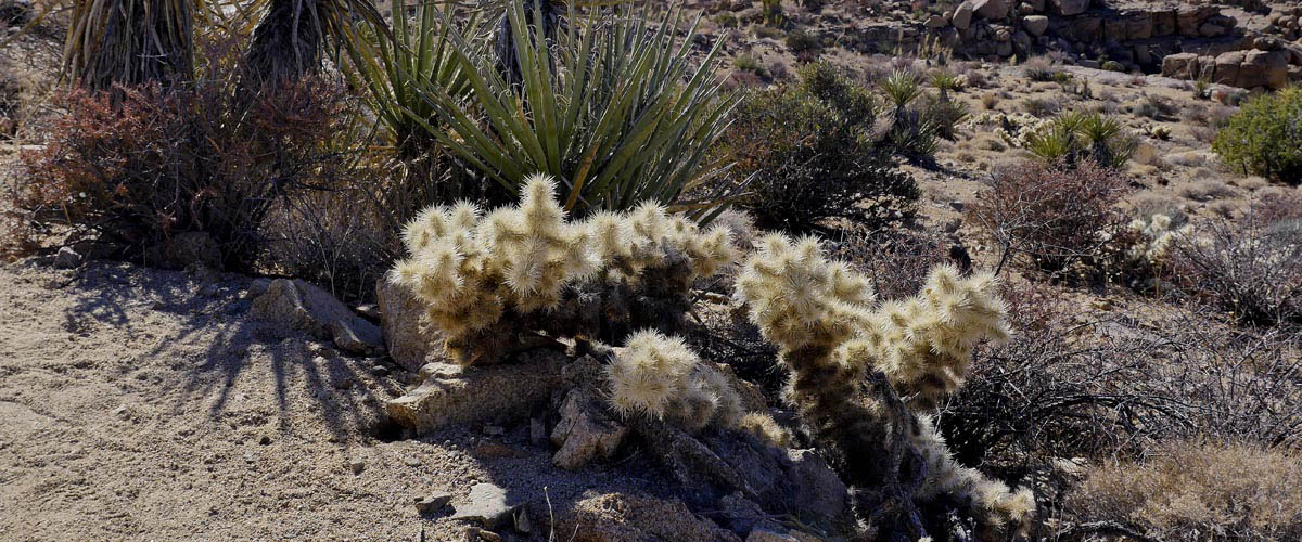
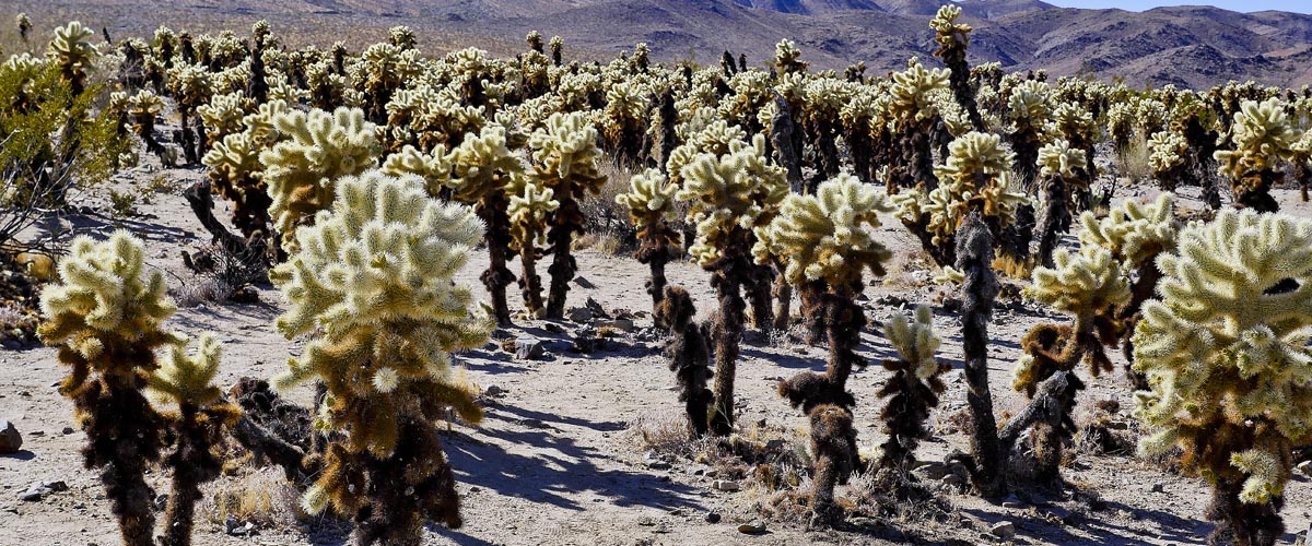
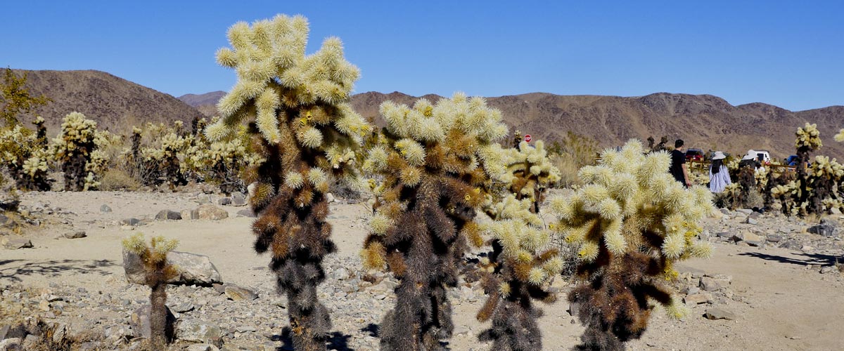
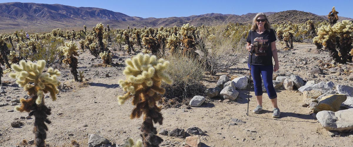
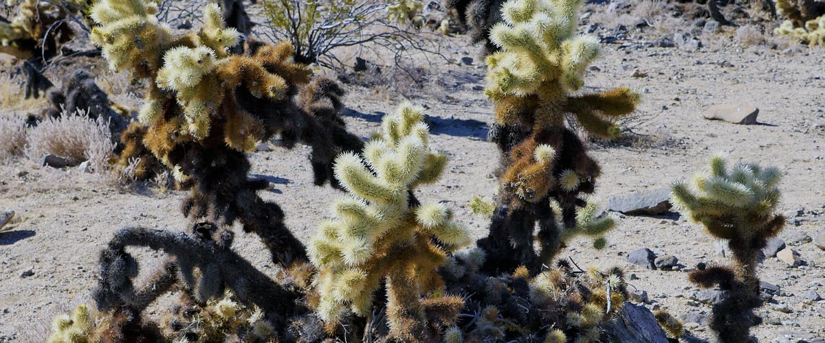
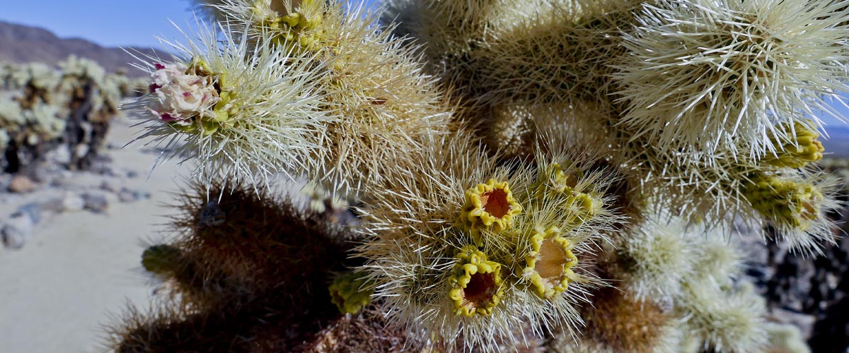
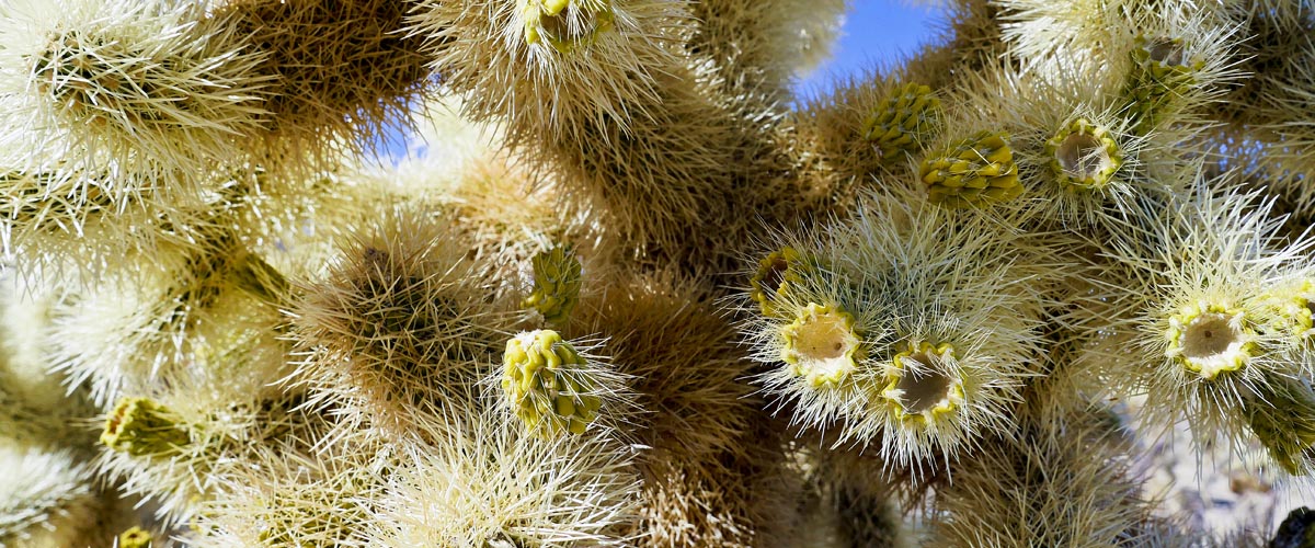
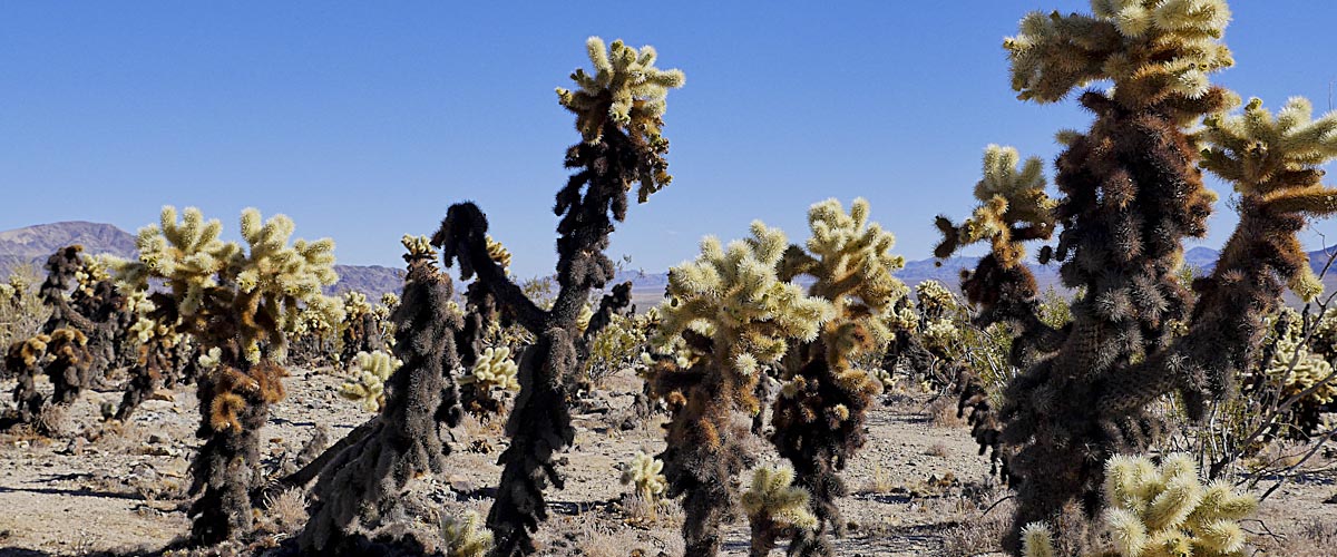
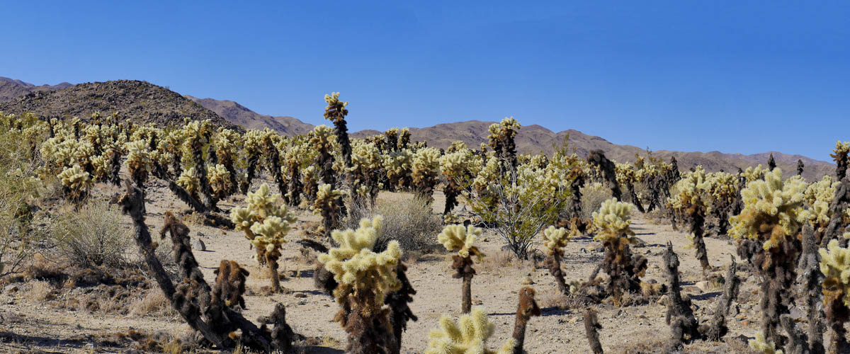
Cholla Cactus Garden Trail
Length .2 miles | elevation 6 feet | moderate out & back
More of a quick stop and photo-op. This pretty cactus garden is worth the stop if you are going to or from the south entrance.
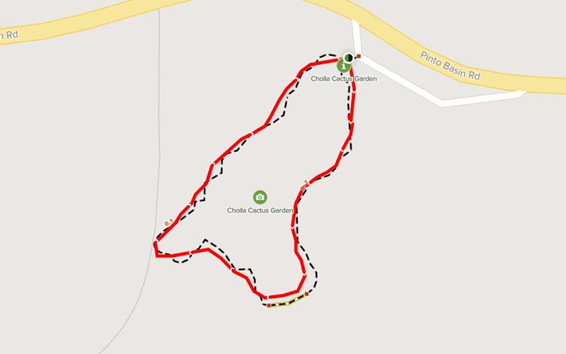
For more hiking and trail information go to alltrails.com
For more images click here