1985 High Sierra Camping Trip
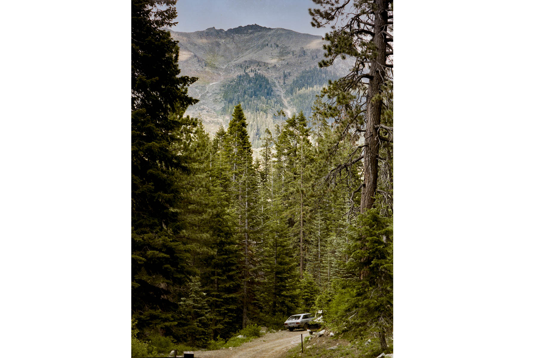
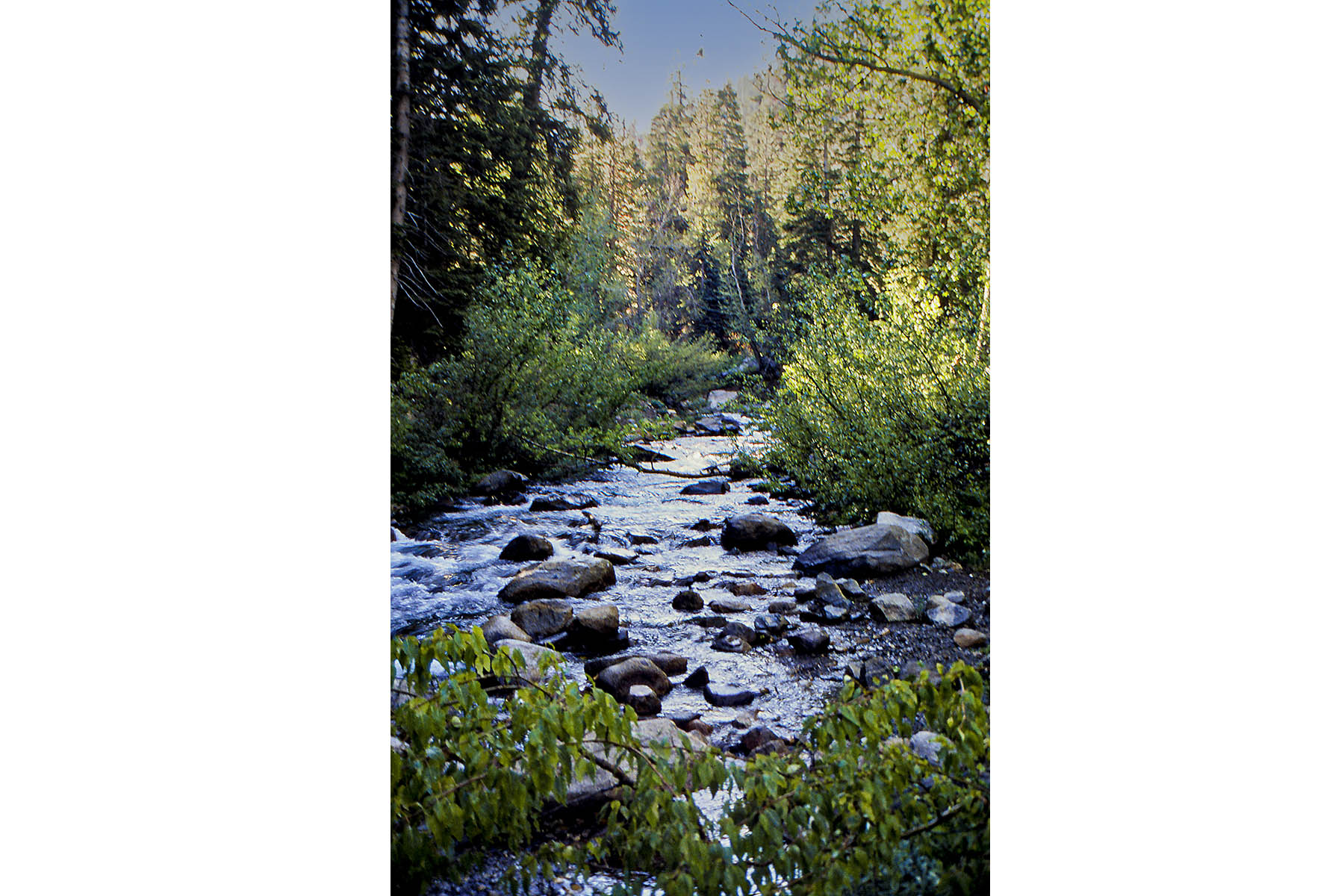
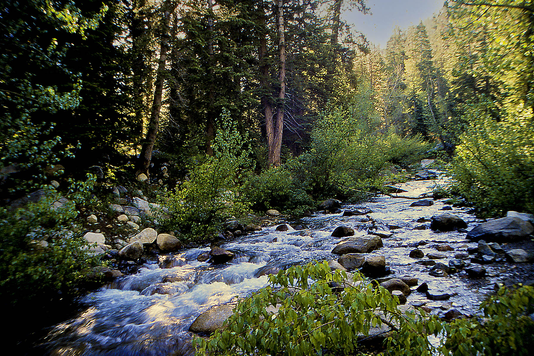
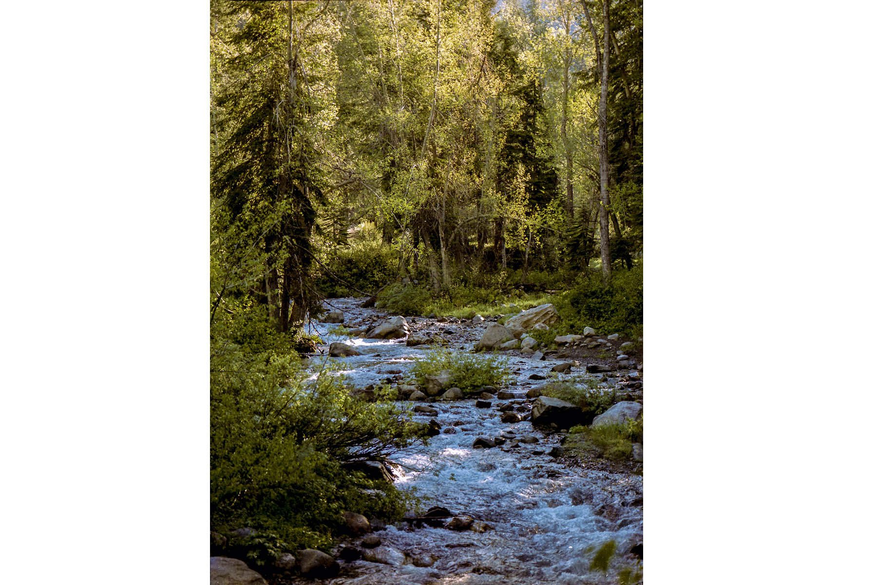
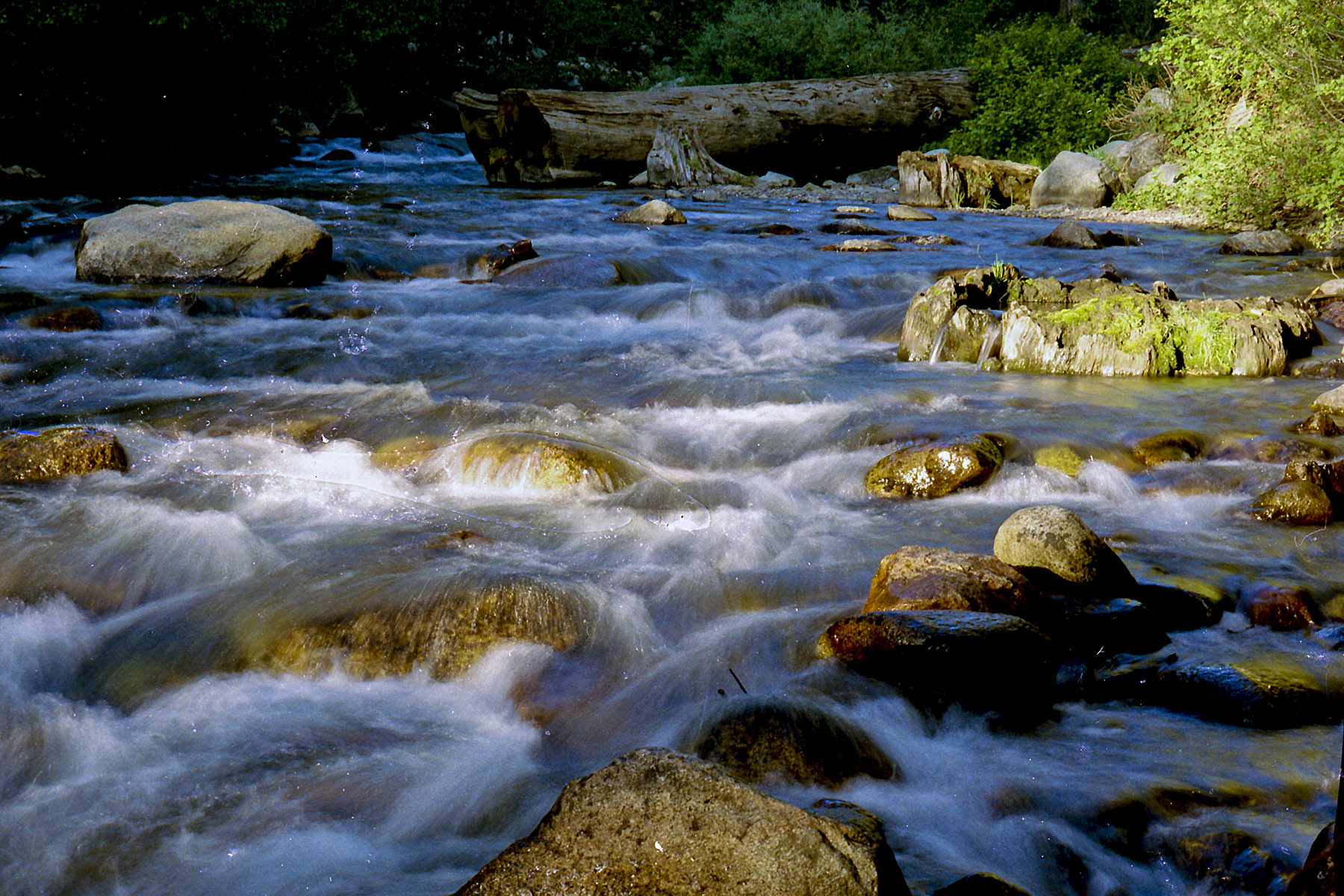
Mineral King is a spectacular alpine valley with hundreds of miles of trails into the high Sierra. We came in through Visailia and took semi paved roads through many, sharp curves.The trip takes over an hour to go the 25+ miles.
Many of the images are from slides that got damaged many years ago. Since image software has gotten so much better I have re-scanned and re-edited all the slides and negatives using a newer scanner and 2021 Adobe Photoshop. Some of the images may not be in the right category as it has been too long for me to remember where i or my dad took the images.
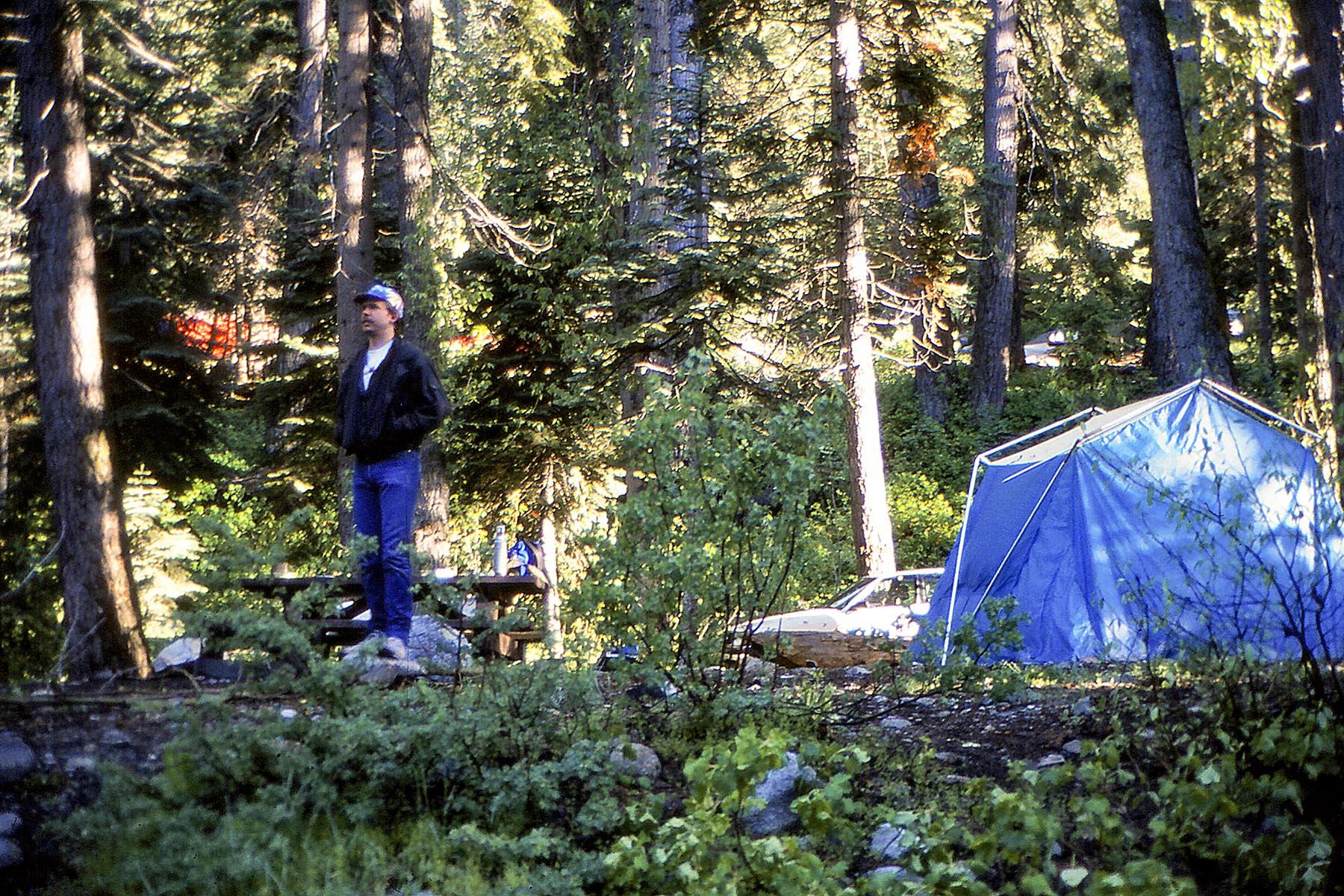
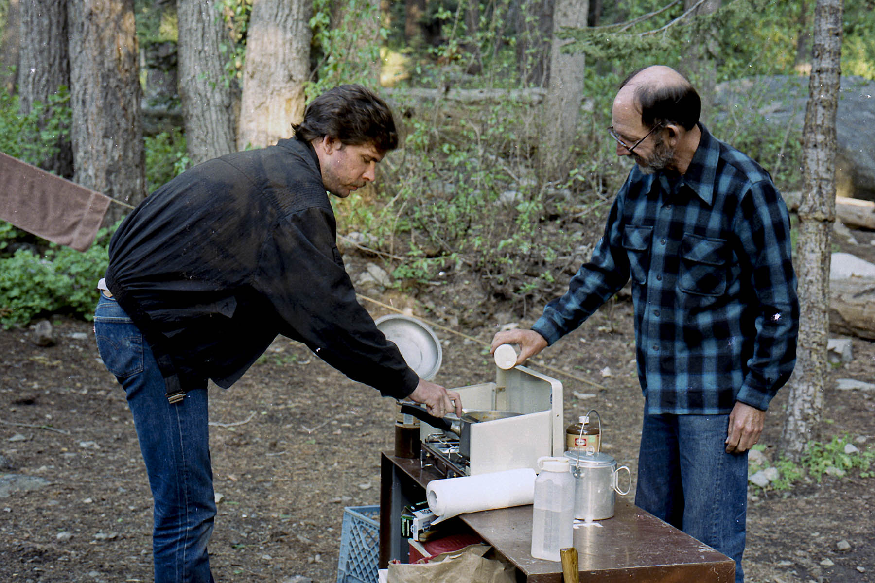
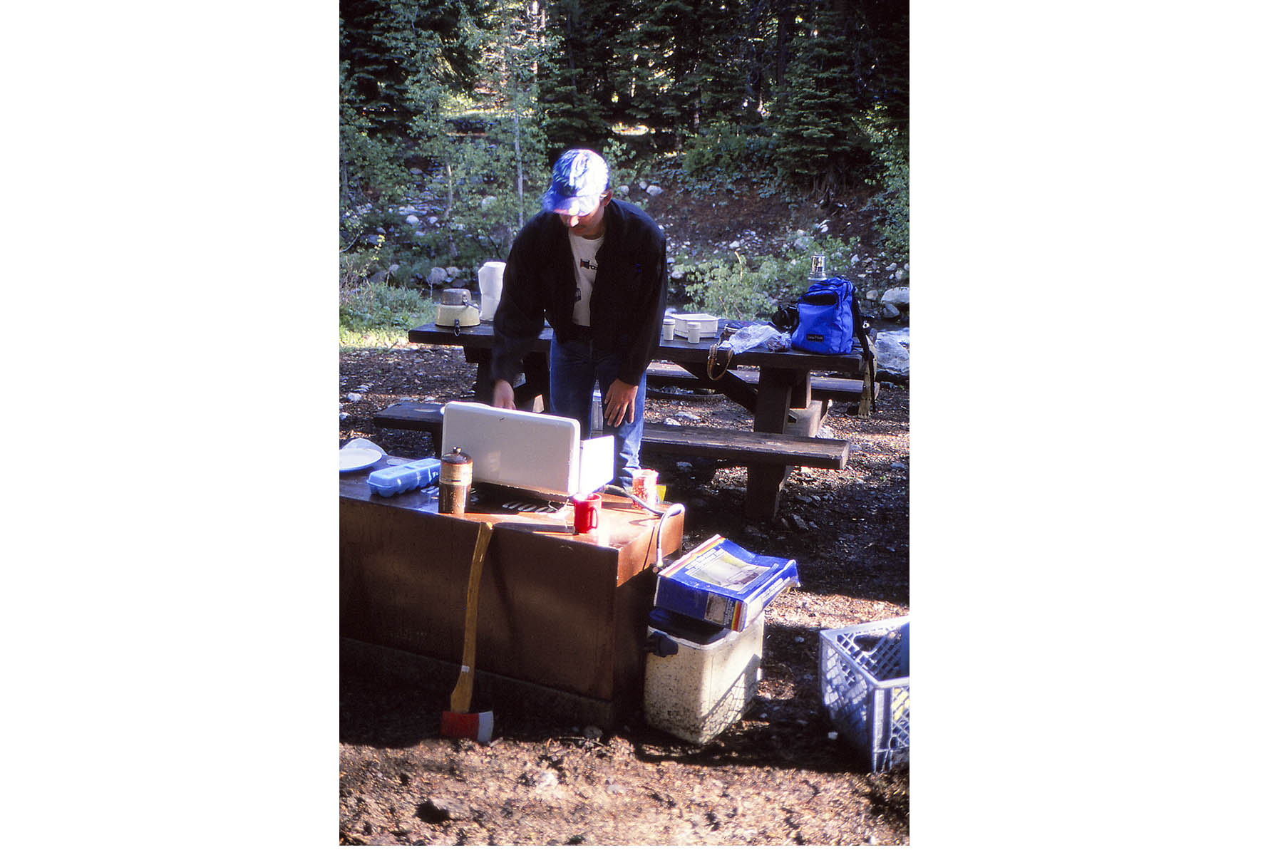
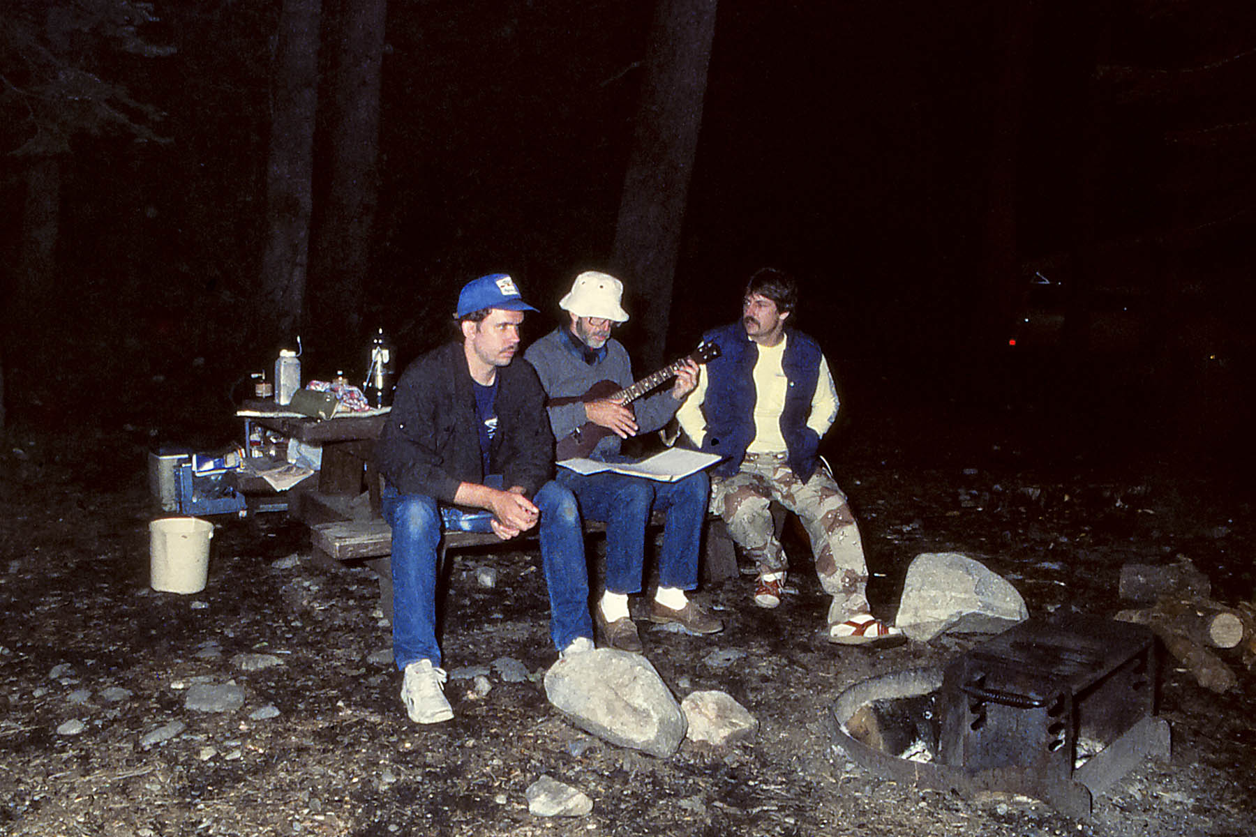
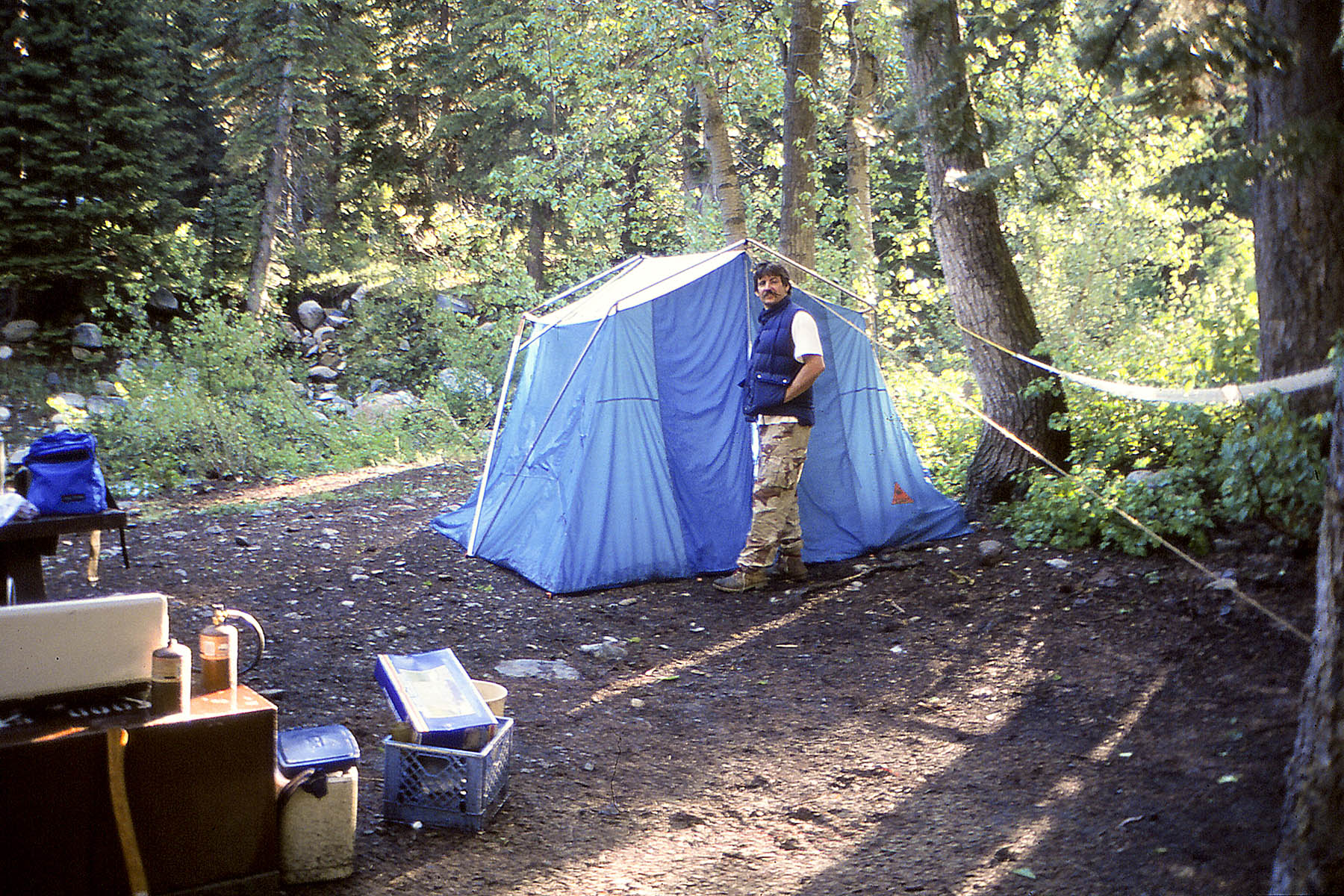
Cold Springs Campground
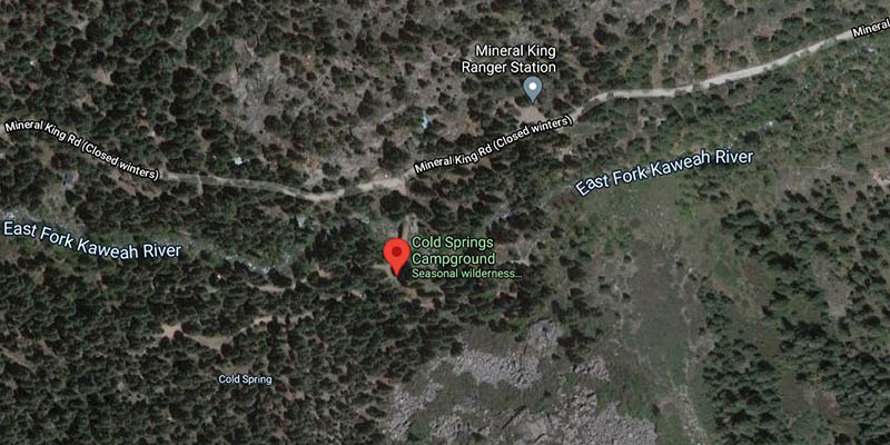
We camped at the Cold Springs Campground which is close to many trailheads. Each site has its own bear locker which you must use.
You will also need to take a large heavy duty tarp to protect your brake lines from marmets . We used chicken wire when we went, but it seems they now are able to get through it. First lay lay the tarp out, drive on to it and pull up the sides to cover your wheel wells.
The camground is considered a primitive site but there is running water and an outhouse.
For Mineral King Camground Information click here
For all campsite images click here
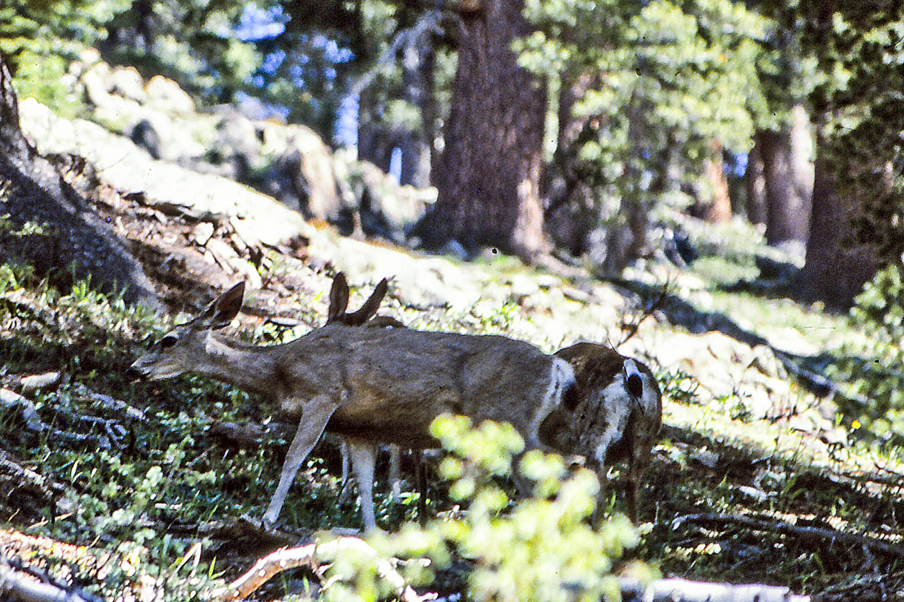
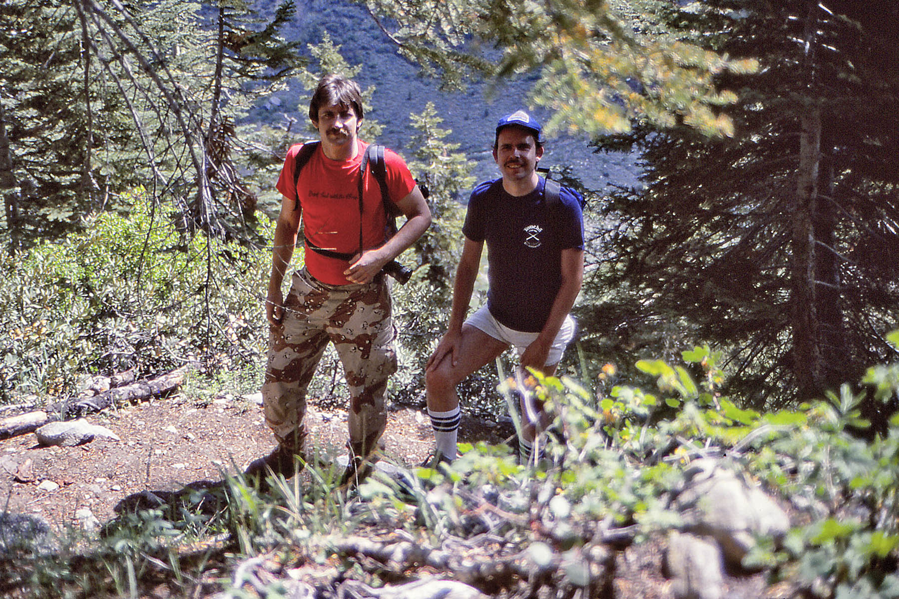
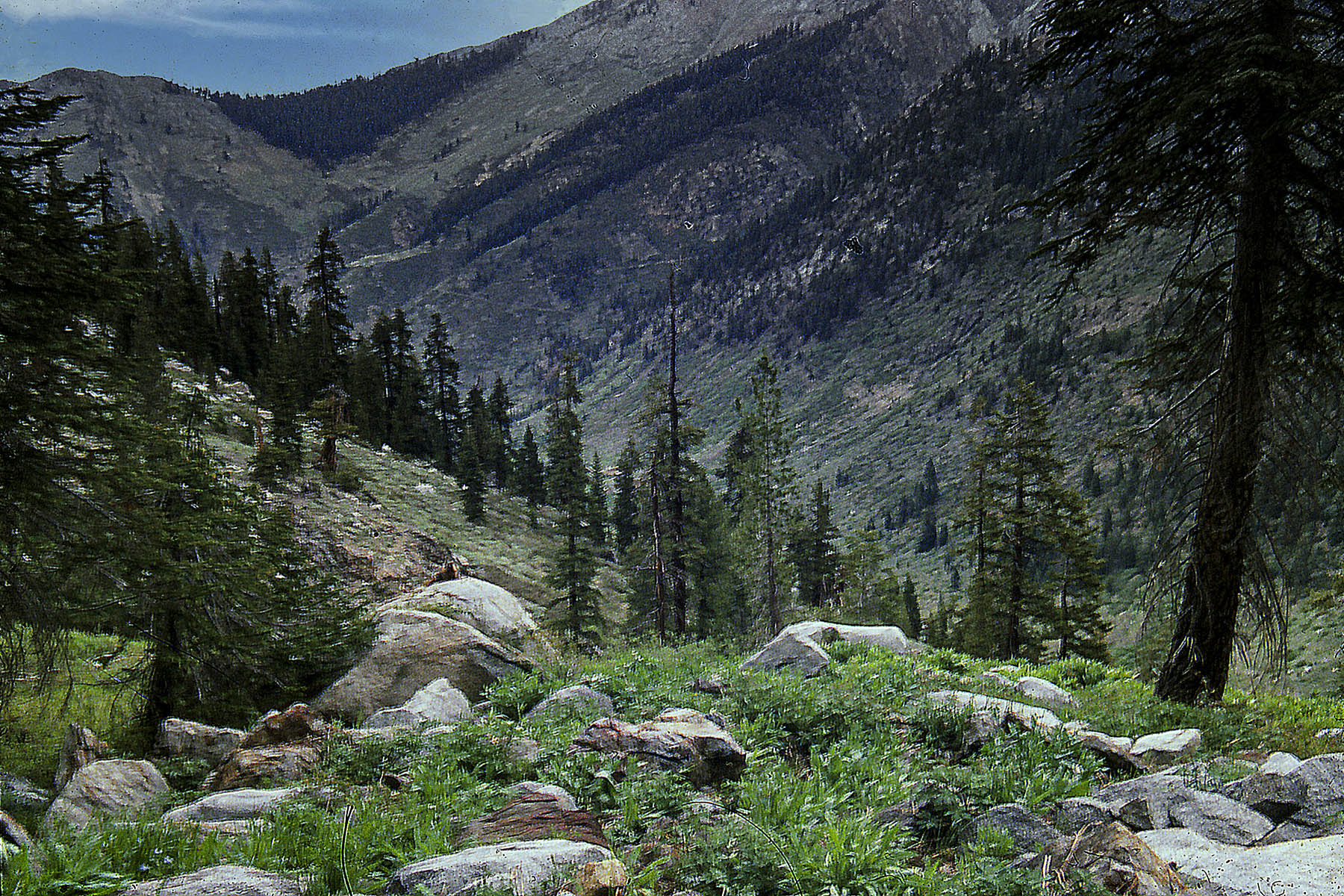
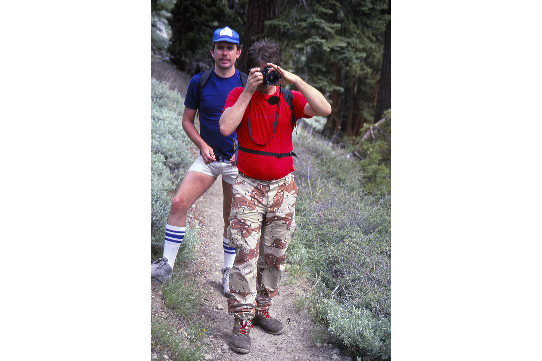
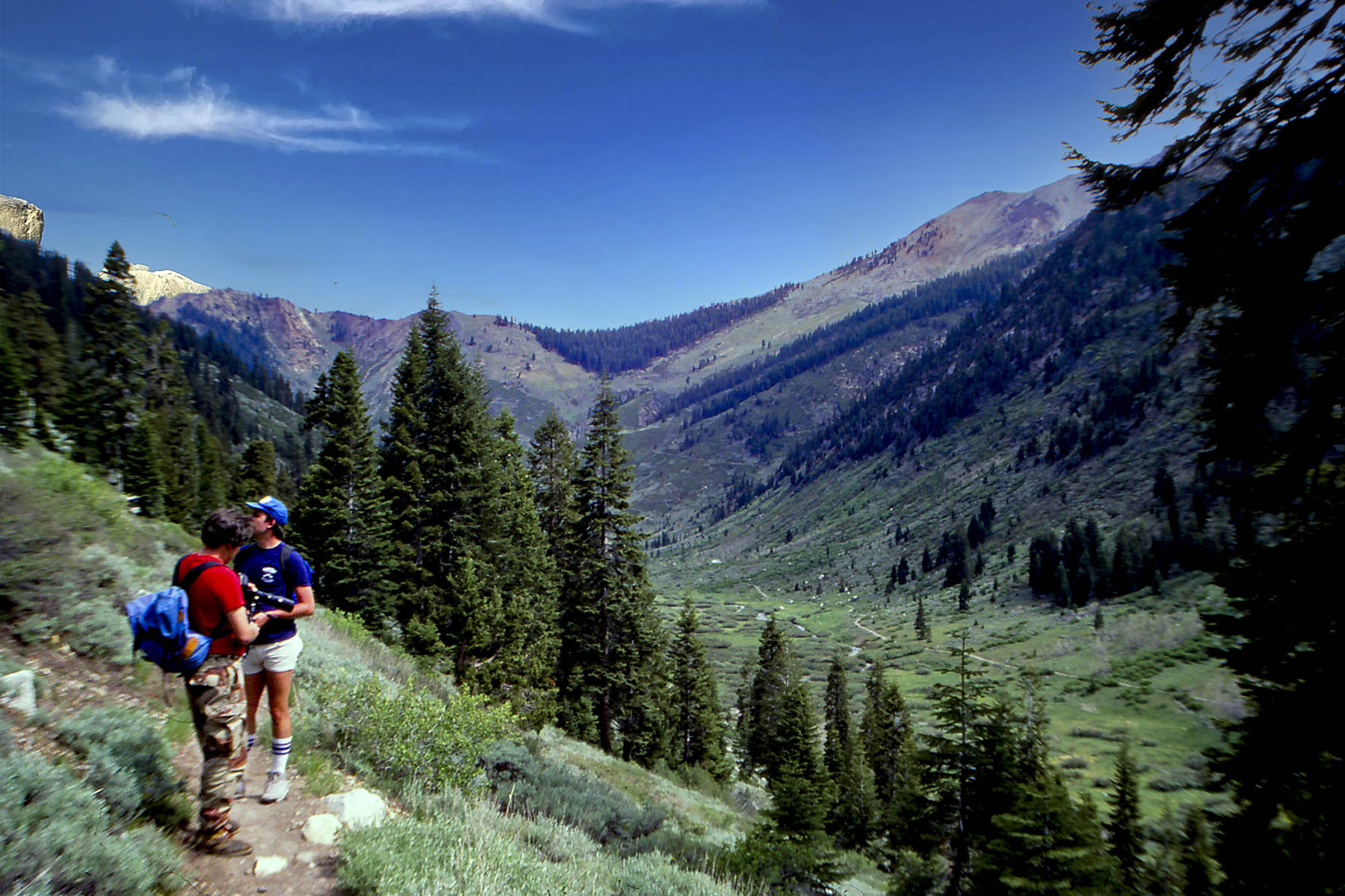
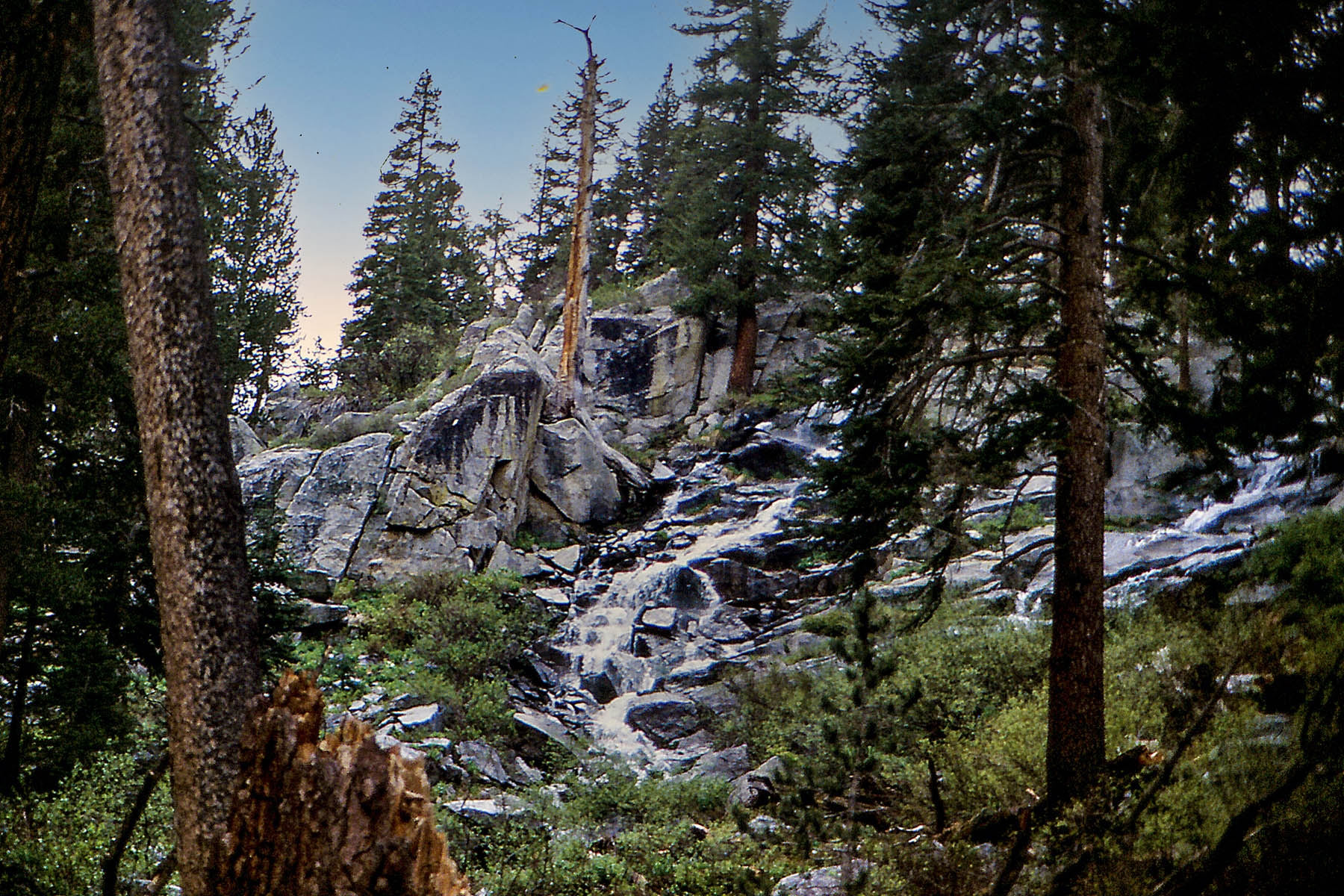
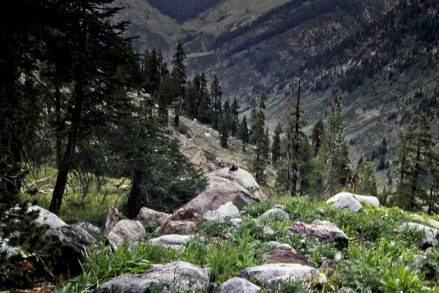
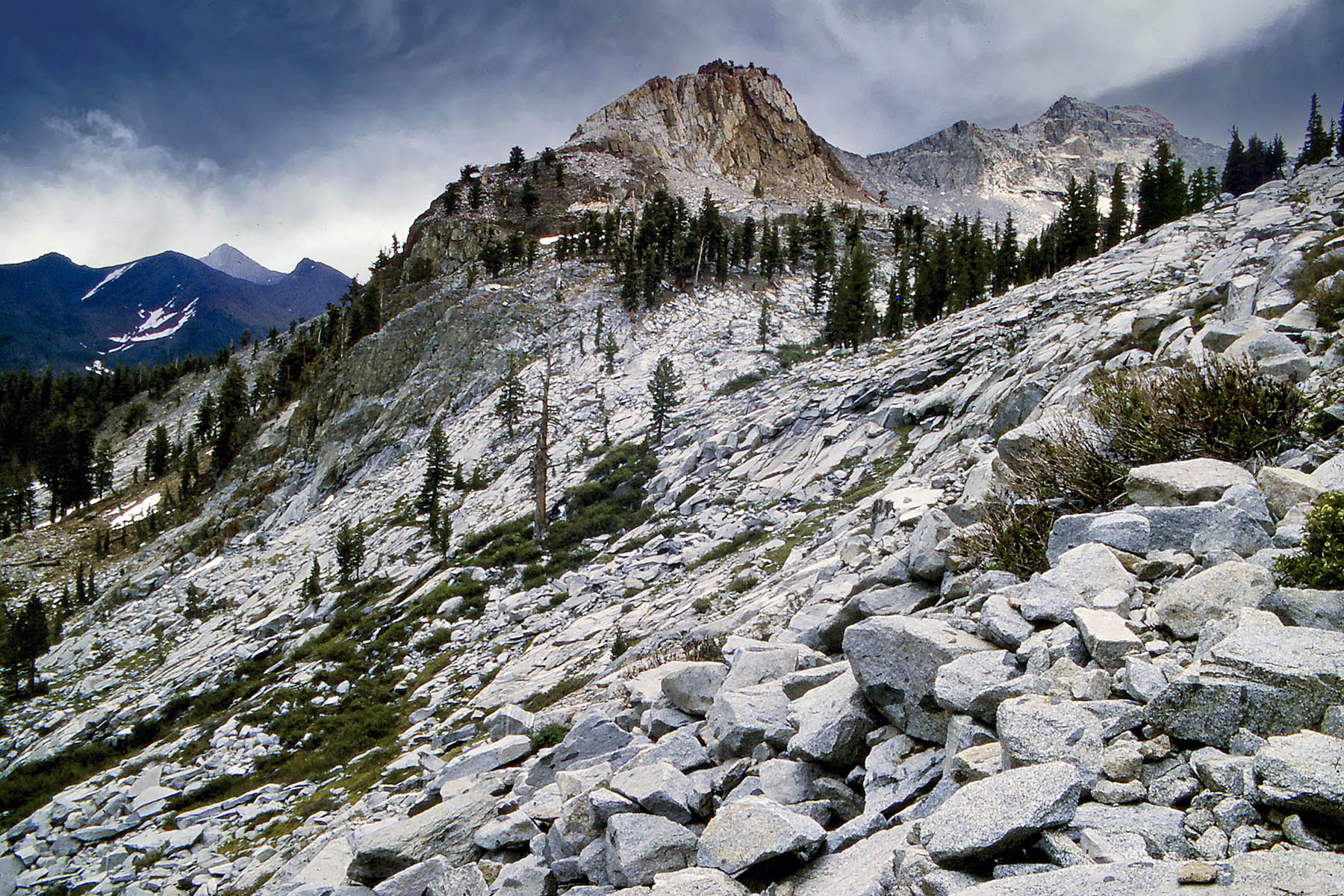
Hiking in Mineral King High Sierras
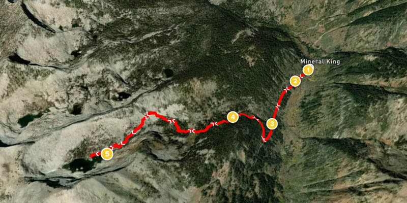
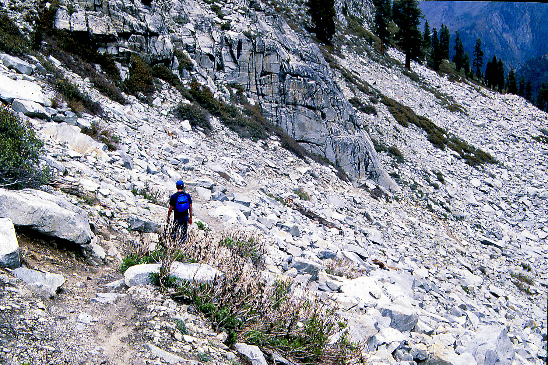
Sawtooth Pass trail to Monarch Lake
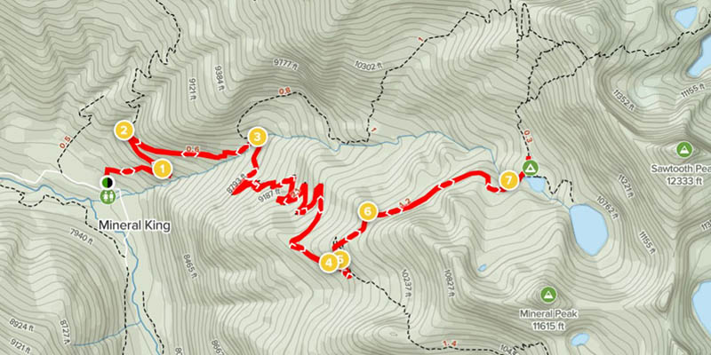
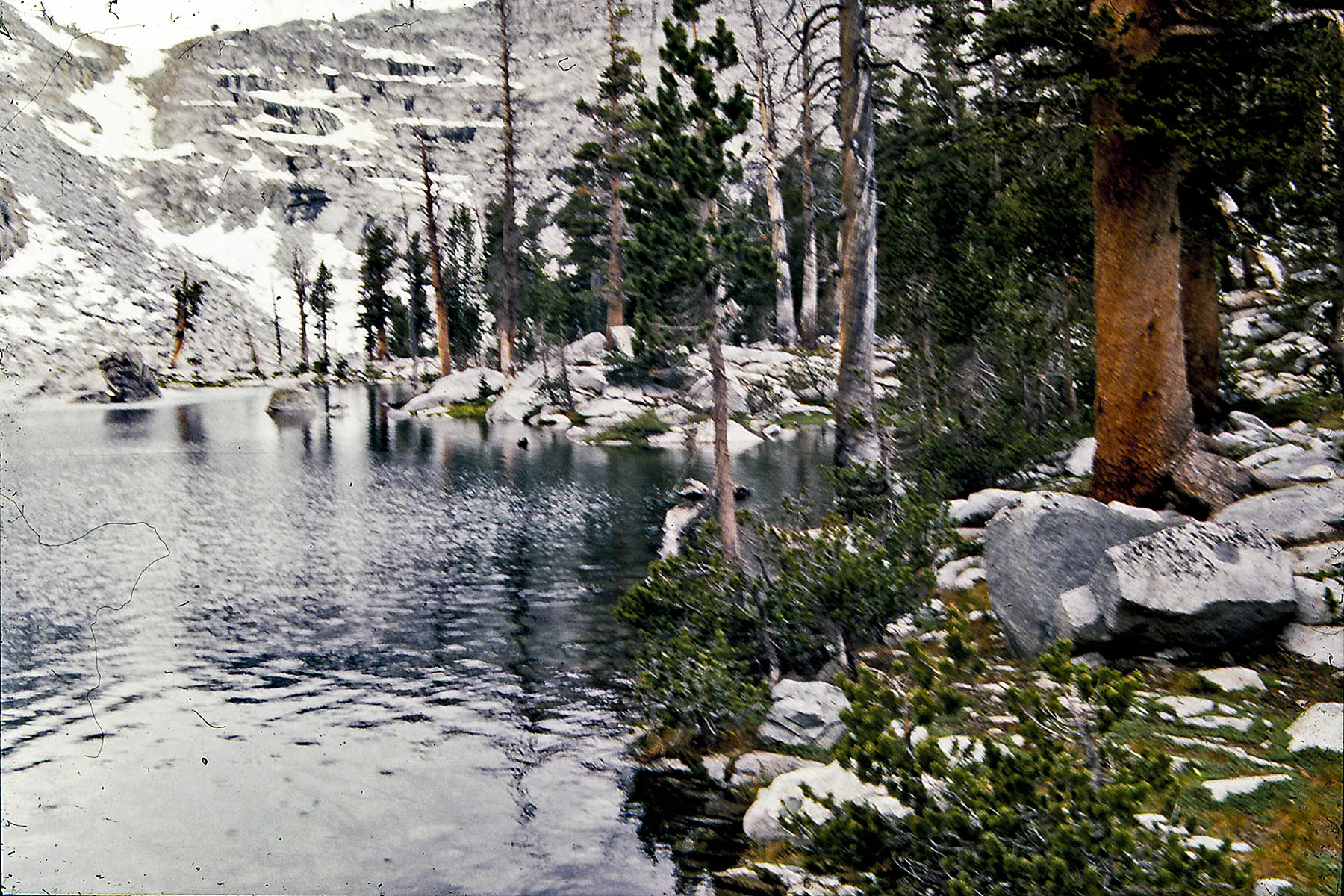
For our first hike was up to Monarch Lake. This was a 8.2 mile, 2650 ft elevation hike. We actually hiked in snow on the shady side of the mountain. Because of steep elevation we hiked up a lot of switchbacks. We could have hikes another 4-5 miles up sawtooth pass but it was even steeper and we all agreed we had done enough for one day.
For ALLTRAILS.COM maps and information click here


For all Monarch Lake hike images click here
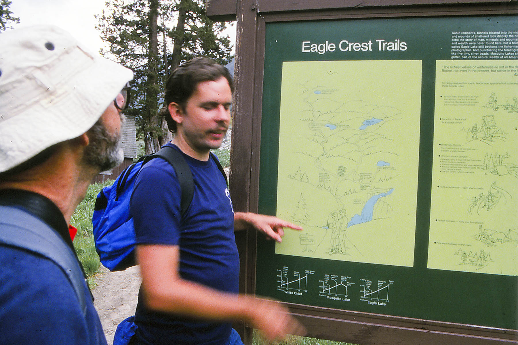
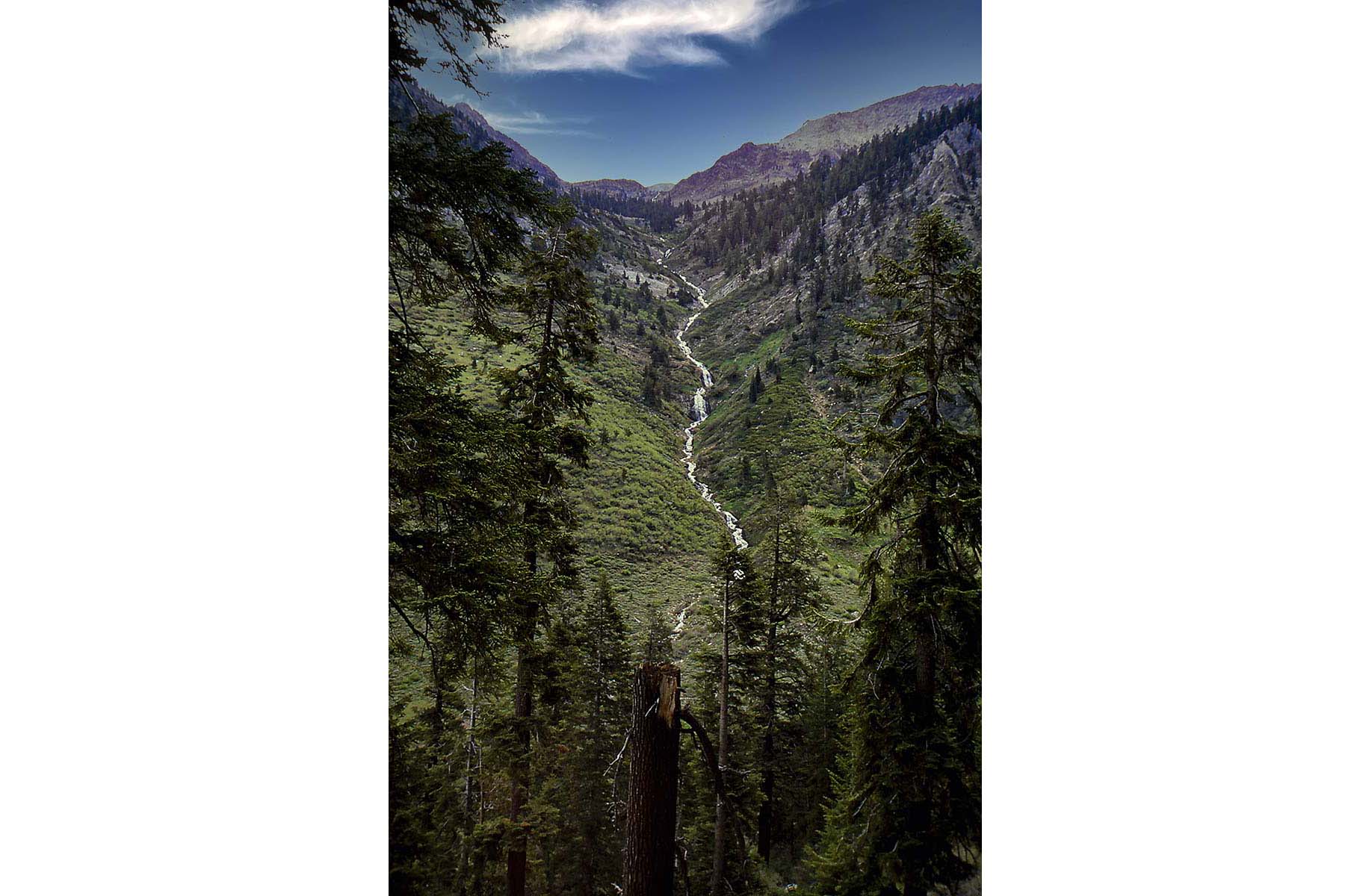
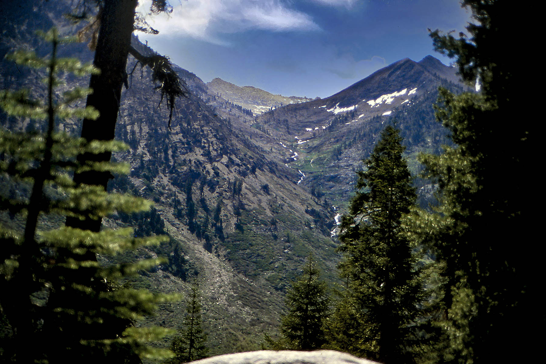
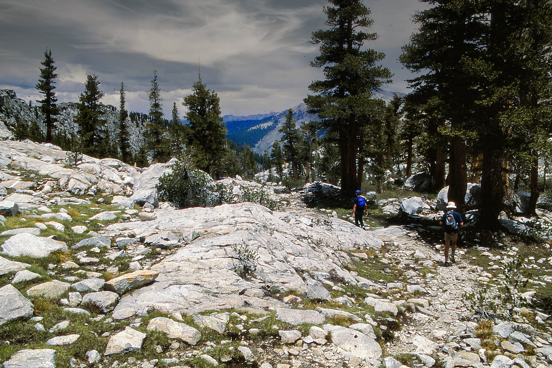
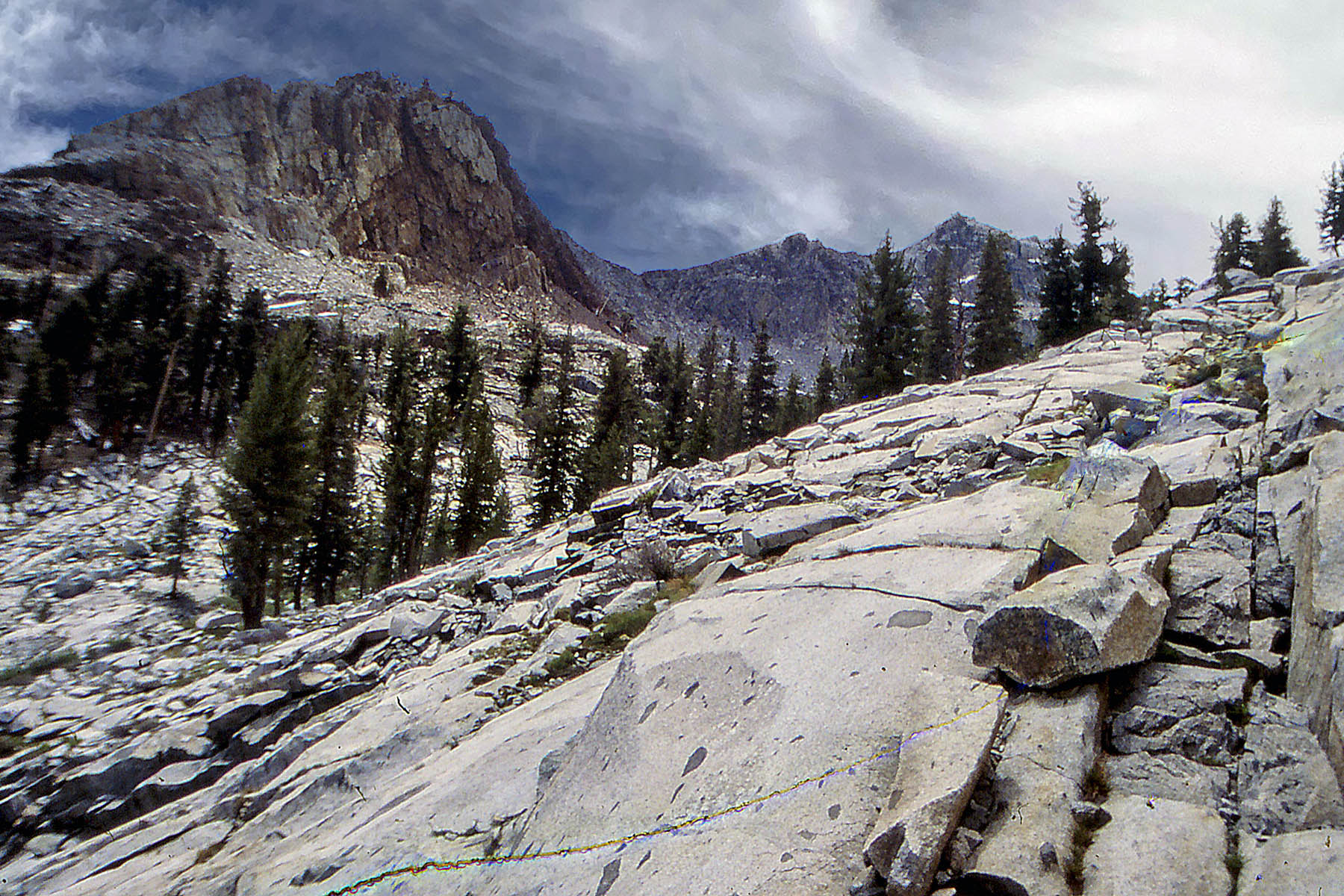
Mineral King to Eagle Lake
Our 2nd trip was a 6.5 mile, 2200 ft elevation hike up to Eagle Lake. this hiked seem steeper the day before, probably because it was a shorter hike. We climbed above the tree line to an alpine lake.
For ALLTRAILS.COM maps and information click here
For all Eagle Lake hike images click here